Sotoyama-Hayasaka Prefectural Natural Park

Gallery (1)
Map
Map
Facts and practical information
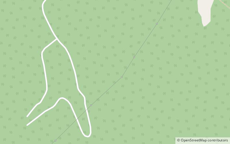
Sotoyama-Hayasaka Heights Prefectural Natural Park is a Prefectural Natural Park in Iwate Prefecture, Japan. Established in 1961, the park spans the municipalities of Morioka and Iwaizumi. ()
Established: 1961 (65 years ago)Elevation: 2789 ft a.s.l.Coordinates: 39°49'6"N, 141°22'41"E
Location
Iwate
ContactAdd
Social media
Add