Mount Horohoro
Map

Map

Facts and practical information
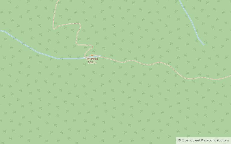
Mount Horohoro is a mountain in Hokkaidō. It is located on the border between Date and Shiraoi in Hokkaidō, Japan. It is the tallest mountain in the Iburi subprefecture. From the top you can see Lake Tōya, Lake Shikotsu, Mount Yōtei, Mount Eniwa, and even the outskirts of Sapporo. ()
Location
Hokkaido
ContactAdd
Social media
Add
