Karato, Shimonoseki
Map

Map

Facts and practical information
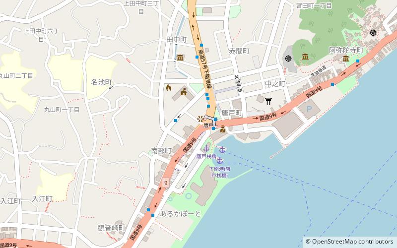
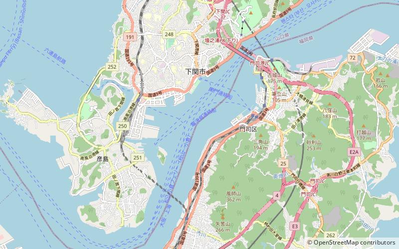
Karato is the downtown area of the city of Shimonoseki, Japan. It is known as the most famous sightseeing spot in Yamaguchi Prefecture. ()
Address
1-15 ArukapotoShimonoseki 750-0036
Contact
+81 83-222-1488
Social media
Add
Day trips
Karato – popular in the area (distance from the attraction)
Nearby attractions include: Akama Shrine, Mekari Shrine, Kaikyō Yume Tower, Kanmon Bridge.
Frequently Asked Questions (FAQ)
Which popular attractions are close to Karato?
Nearby attractions include Akama Shrine, Shimonoseki (12 min walk), Kanmon Straits, Shimonoseki (19 min walk), Kaikyō Yume Tower, Shimonoseki (22 min walk).
How to get to Karato by public transport?
The nearest stations to Karato:
Bus
Ferry
Train
Bus
- 唐戸 • Lines: 10, 121, 127, 17, 17Y, 20, 20A, 21, 217B, 21Y, 22, 23, 24, 24A, 24Ya, 26Ya, 32, 32C, 33, 35, 35A, 63, S-1, S-2, Y-1, Y-2 (2 min walk)
- 市役所前 • Lines: 63 (2 min walk)
Ferry
- 下関港 • Lines: 巌流島連絡船, 関門連絡船 (3 min walk)
- 門司港 • Lines: 巌流島連絡船 (北九州(門司港)=>舟島(巌流島)), 関門連絡船 (33 min walk)
Train
- Shimonoseki (33 min walk)
- Mojikō (35 min walk)


