Kanmon Tunnel, Shimonoseki

Map
Facts and practical information
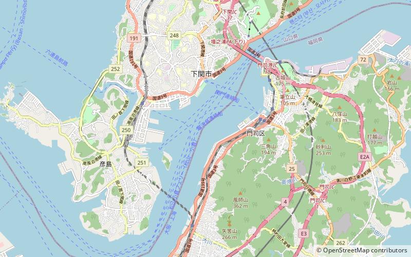
In Japan, the Kanmon Roadway Tunnel carries National Route 2 under the Kanmon Straits. At the time of its construction, it was the longest undersea highway in the world. It opened in 1958. The overall length is 3,461 metres meters, and it is 58 metres below sea level at the deepest point. The endpoints are in Shimonoseki, Yamaguchi and Moji-ku, Kitakyūshū. According to a United Press report at the time, 53 workers were killed during its construction, and it was second only to the Mersey Railway tunnel in length for an underwater tunnel. ()
Address
Shimonoseki
ContactAdd
Social media
Add
Day trips
Kanmon Tunnel – popular in the area (distance from the attraction)
Nearby attractions include: Akama Shrine, Kaikyō Yume Tower, Karato, Ganryūjima.
Frequently Asked Questions (FAQ)
Which popular attractions are close to Kanmon Tunnel?
Nearby attractions include Kanmon Straits, Shimonoseki (11 min walk), Kaikyō Yume Tower, Shimonoseki (23 min walk), Ganryūjima, Shimonoseki (24 min walk).
How to get to Kanmon Tunnel by public transport?
The nearest stations to Kanmon Tunnel:
Bus
Ferry
Train
Bus
- 海響館前 • Lines: 10, 17, 17Y, 20, 20A, 21, 21Y, 22, 23, 24, 24A, 24Ya, 26Ya, 32, 32C, 33, 35, 35A, S-1, S-2, Y-1, Y-2 (21 min walk)
- 入江口 • Lines: 10, 17, 17Y, 20, 20A, 21, 21Y, 22, 23, 24, 24A, 26Ya, 32, 32C, 33, 35, 35A, S-2, Y-2 (23 min walk)
Ferry
- 下関港 • Lines: 巌流島連絡船, 関門連絡船 (24 min walk)
- 舟島 • Lines: 巌流島連絡船, 巌流島連絡船 (北九州(門司港)=>舟島(巌流島)) (24 min walk)
Train
- Mojikō (28 min walk)
- Kyushutetsudo-Kinenkan (30 min walk)


