Ru tou wen quan xiang ru tou wen quan zu he, Semboku
Map

Map

Facts and practical information
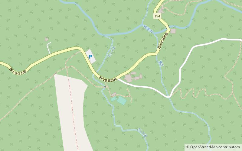
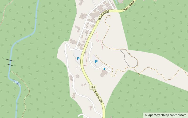
Ru tou wen quan xiang ru tou wen quan zu he (address: 2-1 Tazawakobonai) is a place located in Semboku (Akita prefecture) and belongs to the category of nature, natural attraction, spa.
It is situated at an altitude of 2562 feet, and its geographical coordinates are 39°48'3"N latitude and 140°47'38"E longitude.
Among other places and attractions worth visiting in the area are: Nyuto Onsen (locality, 58 min walk), Mount Akita-Komagatake, Towada-Hachimantai National Park (nature, 71 min walk).
Coordinates: 39°48'3"N, 140°47'38"E
Day trips
Ru tou wen quan xiang ru tou wen quan zu he – popular in the area (distance from the attraction)
Nearby attractions include: Mount Akita-Komagatake, Nyuto Onsen.


