Trek Zone

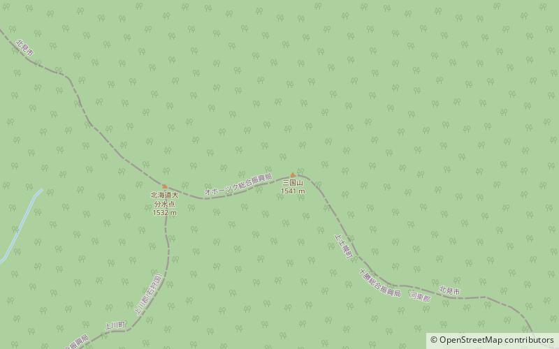
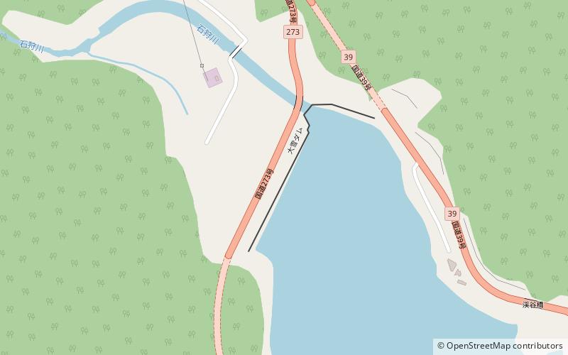
Taisetsu Dam, Daisetsuzan National Park

#11 among attractions in Daisetsuzan National Park

Park, Dam, Reservoir
Taisetsu Dam

Facts and practical information

Local name: 大雪ダム Opened: 1975 (49 years ago)Length: 1444 ftHeight: 284 ftReservoir area: 1.13 mi²Elevation: 2625 ft a.s.l.Coordinates: 43°40'35"N, 143°2'13"E
Address

Daisetsuzan National Park Japan

Contact
+81 1658-5-3141
Social media
Add

Daisetsuzan National Park plan & book

Unleash the traveler in you — discover the cheapest flight deals, find the perfect hotel or hostel nearby, and search for the best car rental prices. Travel at your own pace to discover new places and enjoy your journey.

Day trips

Taisetsu Dam – popular in the area (distance from the attraction)

Nearby attractions include: Daisetsuzan Sōunkyō Kurodake Ropeway, Mount Aka, Mount Mikuni, Kamikawa.

  • daisetsuzan sounkyo kurodake ropeway sounkyo onsen5.5 miNW
  • mount aka daisetsuzan national park5.5 miW
  • mount mikuni daisetsuzan national park location map
    7.8 miSE
  • kamikawa5.6 miNW

Where to next? Visit hokkaido Hokkaido region page or discover the top tourist attractions in Japan.

JapanAichiAkitaAomoriChibaEhimeFukuiFukuokaFukushimaGifuGunmaHiroshimaHokkaidoHyōgoIbarakiIshikawaIwateKagawaKagoshimaKanagawaKochiKumamotoKyotoMieMiyagiMiyazakiNaganoNagasakiNaraNiigataOitaOkayamaOkinawaOsakaSagaSaitamaShigaShimaneShizuokaTochigiTokushimaTokyoTottoriToyamaWakayamaYamagataYamaguchiYamanashi