Lake Ogawara
Map

Map

Facts and practical information
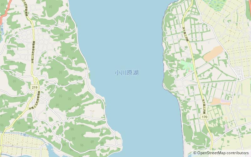
Lake Ogawara is Japan's eleventh largest lake and the largest in Aomori Prefecture. It spans the boundaries of the city of Misawa, the town of Tōhoku, and the village of Rokkasho in Kamikita District. ()
Local name: 小川原湖 Area: 24.4 mi²Maximum depth: 82 ftElevation: 0 ft a.s.l.Coordinates: 40°46'56"N, 141°19'41"E
Location
Aomori
ContactAdd
Social media
Add
Day trips
Lake Ogawara – popular in the area (distance from the attraction)
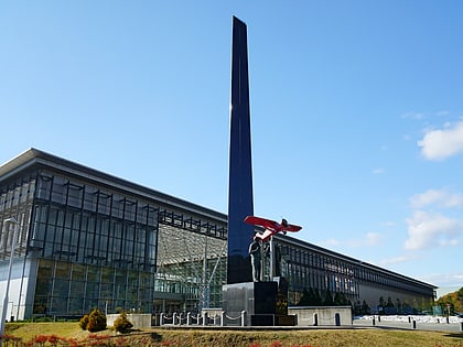
Nearby attractions include: Misawa Aviation & Science Museum, Hotokenuma.


