Gyoja Dake, Tanzawa-Ōyama Quasi-National Park

Gallery (1)
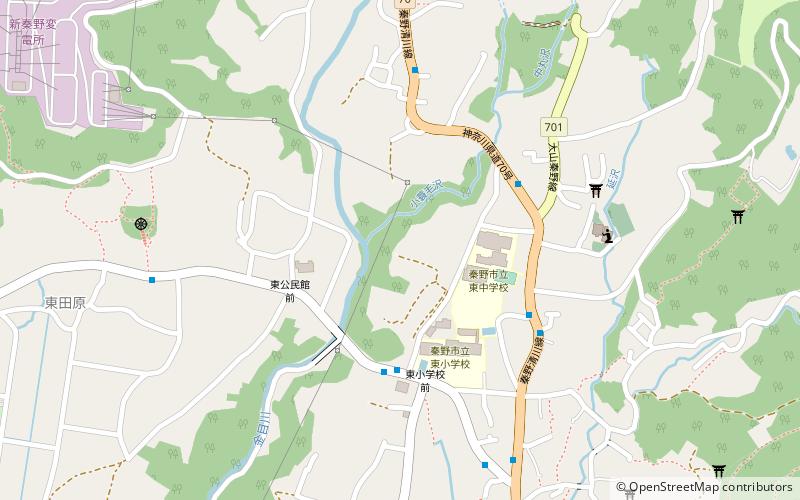
Map
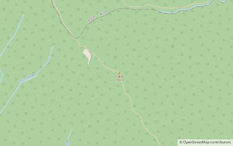
Map
Facts and practical information
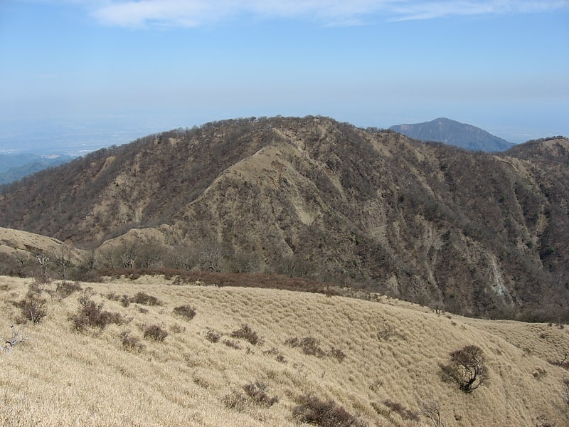
Gyoja-dake is a 1,180-meter-high mountain on the Tanzawa Omote Ridge. It is located between Shin-Dainichi and Karasuboyama. Gyoja-dake is 300 m northwest of the 1,209 m peak from which the Seijiro Ridge descends.
Gyoja-dake area is the most collapsed area on Omote-one, and the chain-link is intermittent.
Coordinates: 35°26'43"N, 139°10'55"E
Address
秦野市 (qin ye shi)Tanzawa-Ōyama Quasi-National Park
ContactAdd
Social media
Add
Day trips