Miao gao shi yi suo, Myoko

Gallery (1)
Map
Map
Facts and practical information
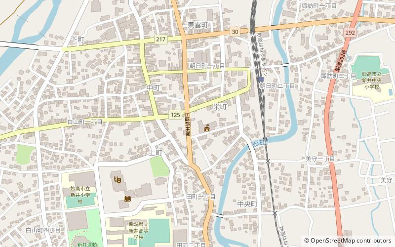
Miao gao shi yi suo is a place located in Myoko (Niigata prefecture) and belongs to the category of city hall.
It is situated at an altitude of 220 feet, and its geographical coordinates are 37°1'31"N latitude and 138°15'11"E longitude.
Among other places and attractions worth visiting in the area are: Hida Sites (archaeological site, 60 min walk), Kannondaira-Tenjindō Kofun Group (archaeological site, 68 min walk).
Coordinates: 37°1'31"N, 138°15'11"E
Address
Myoko
ContactAdd
Social media
Add
Day trips

