Myojinkan, Kamikochi

Gallery (1)
Map
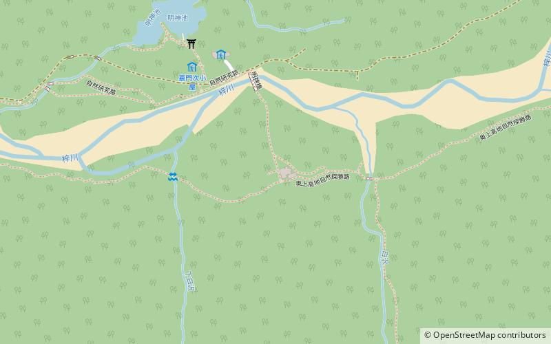
Map
Facts and practical information
Myojinkan is a place located in Kamikochi (Nagano prefecture) and belongs to the category of hiking, alpine hut.
It is situated at an altitude of 5023 feet, and its geographical coordinates are 36°15'0"N latitude and 137°40'1"E longitude.
Among other places and attractions worth visiting in the area are: Ainodake (nature, 73 min walk), Mount Hotakadake (natural attraction, 74 min walk), Shinhotaka Ropeway (aerial tramway, 117 min walk).
Coordinates: 36°15'0"N, 137°40'1"E
Address
Kamikochi
ContactAdd
Social media
Add
Day trips