Ainodake, Kamikochi

Gallery (1)
Map
Map
Facts and practical information
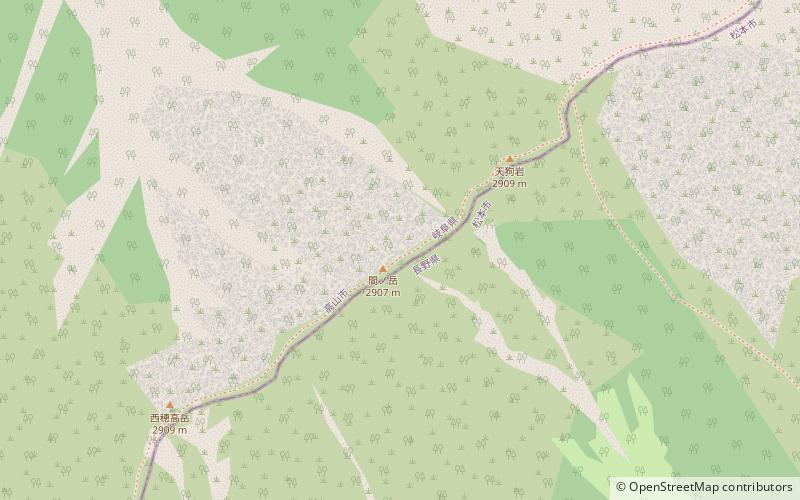
Mt. Manodake is a small peak in the Hotaka mountain range in the Northern Alps between Mt. The traverse route connecting Mt. Nishihotaka and Okuhotaka is said to be the most dangerous and difficult trail in Japan for ordinary climbers, and Mt.
Coordinates: 36°16'54"N, 137°38'2"E
Address
Kamikochi
ContactAdd
Social media
Add
Day trips


