Tagata District, Mishima

Map
Facts and practical information
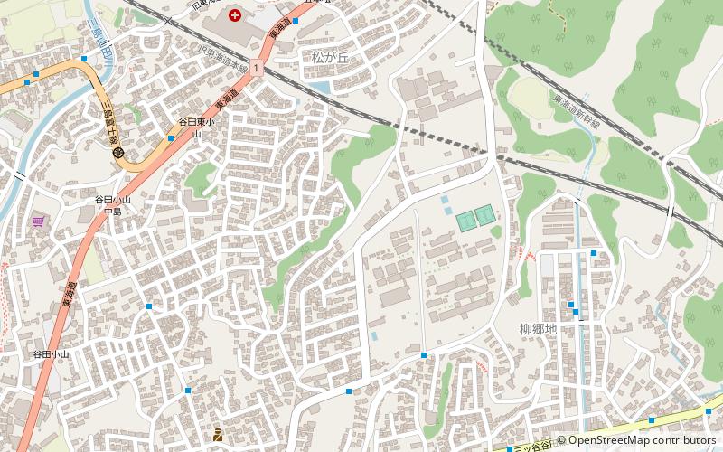
Tagata District is a rural district located in Shizuoka Prefecture, Japan. As of July 2012, the district has an estimated population of 38,332 and a population density of 589 persons per km2. The total area was 65.13 km2. The district is administered out of the city hall of Mishima City. ()
Address
Mishima
ContactAdd
Social media
Add
Day trips
Tagata District – popular in the area (distance from the attraction)
Nearby attractions include: Sano Art Museum, Mishima Taisha, Shizuoka Sengen Shrine, Zuo ye mei shu guan.
Frequently Asked Questions (FAQ)
How to get to Tagata District by public transport?
The nearest stations to Tagata District:
Train
Bus
Train
- Mishima-Futsukamachi (21 min walk)
- Mishima-Tamachi (27 min walk)
Bus
- 伊豆フルーツパーク • Lines: N65 (24 min walk)


