Tachibana Kanga site, Kawasaki
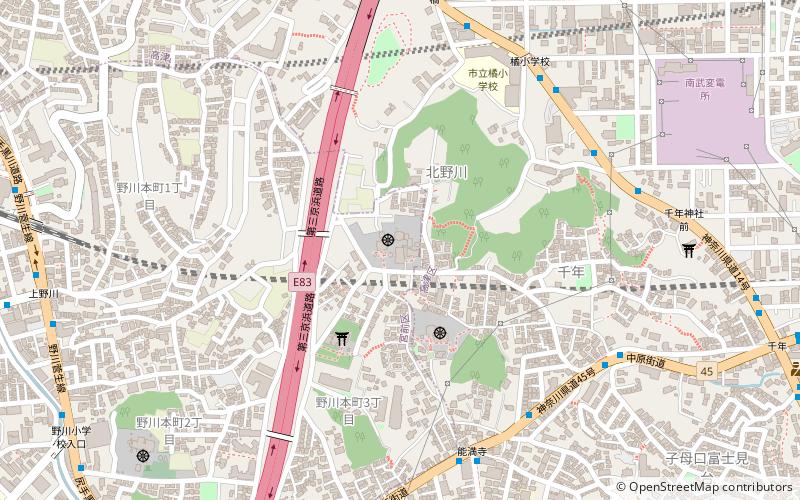
Map

Map

Facts and practical information
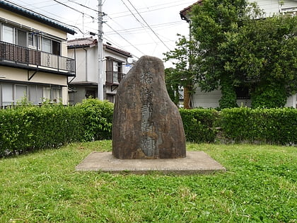
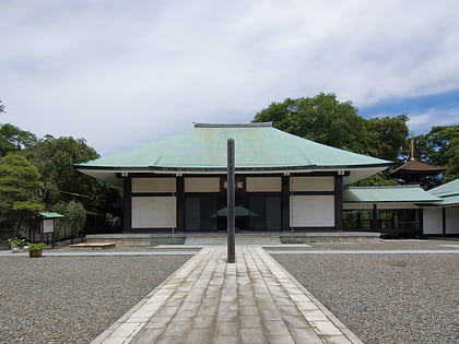
The Tachibana Kanga ruins is an archaeological site with the ruins of a Nara to Heian period government administrative complex located in what is now the Takatsu Ward of the city of Kawasaki, Kanagawa prefecture in the Kantō region of Japan. The ruins were protected as a National Historic Site in 2015. ()
Address
高津区 (gao jin qu)Kawasaki
ContactAdd
Social media
Add
Day trips
Tachibana Kanga site – popular in the area (distance from the attraction)
Nearby attractions include: Yokohama International Swimming Pool, Yokohama Mosque, Mangan-ji, Gotoh Museum.
Frequently Asked Questions (FAQ)
How to get to Tachibana Kanga site by public transport?
The nearest stations to Tachibana Kanga site:
Bus
Train
Metro
Bus
- 能満寺 • Lines: 原01, 城11, 杉06, 杉09, 溝21, 溝25, 鷺02 (7 min walk)
- Tachibana-shogakko • Lines: 溝21, 溝22, 溝23, 溝25 (7 min walk)
Train
- Musashi-Shinjo (22 min walk)
- Kajigaya (34 min walk)
Metro
- Kajigaya • Lines: Dt, Dt;Z, Dt;Z;Ts;Tn (34 min walk)


