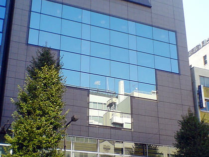
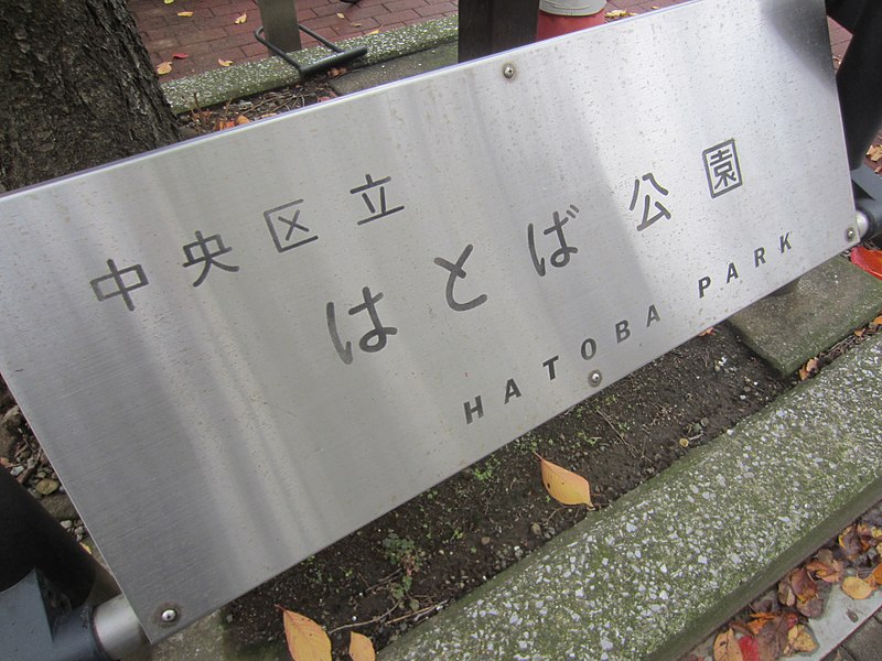
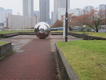
Hatoba Park, Tokyo
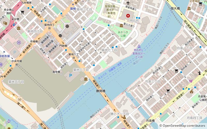
Map
Gallery
Facts and practical information
Hatoba Park is a park along the Sumida River, northeast of Kachidoki Bridge, in Chūō, Tokyo, Japan. ()
Elevation: 52 ft a.s.l.Coordinates: 35°39'51"N, 139°46'30"E
Address
中央区 (明石町)Tokyo
ContactAdd
Social media
Add
Day trips
Hatoba Park – popular in the area (distance from the attraction)
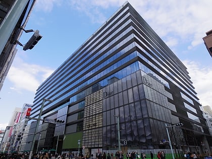
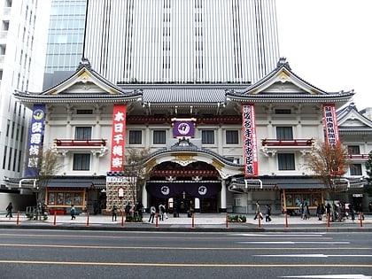
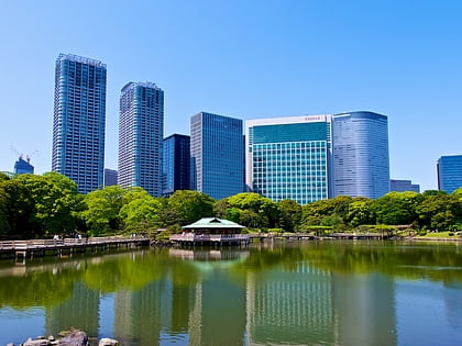
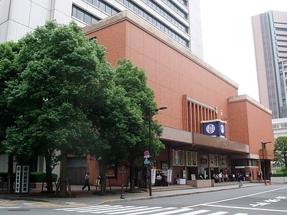
Nearby attractions include: Tsukiji Fish Market, Hamarikyu Gardens, Ginza Six, Kabuki-za.
Frequently Asked Questions (FAQ)
Which popular attractions are close to Hatoba Park?
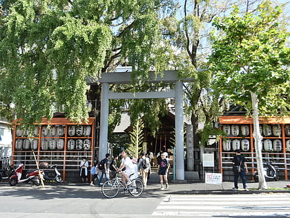
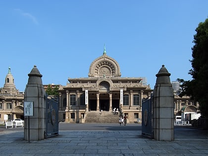
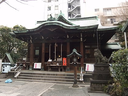
Nearby attractions include Namiyoke Inari Shrine, Tokyo (5 min walk), Tokyo/Chuo, Tokyo (5 min walk), Tsukiji Hongwanji, Tokyo (7 min walk), Tsukiji, Tokyo (8 min walk).
How to get to Hatoba Park by public transport?
The nearest stations to Hatoba Park:
Bus
Metro
Train
Light rail
Ferry
Bus
- Kachidoki Bridge West • Lines: 南循環 (2 min walk)
- 築地七丁目 • Lines: 東15, 東15乙 (3 min walk)
Metro
- Tsukiji • Lines: H, H-Ts, Ts;H (8 min walk)
- Kachidoki • Lines: E (10 min walk)
Train
- Hatchōbori (20 min walk)
- Shimbashi (25 min walk)
Light rail
- Shiodome • Lines: U (22 min walk)
- Shimbashi • Lines: U (22 min walk)
Ferry
- 竹芝桟橋 • Lines: 大島フェリー航路 岡田港 直通便, 東京~小笠原(父島)航路 (26 min walk)
 Metro
Metro

