Kaigan, Tokyo
Map
Map

Facts and practical information
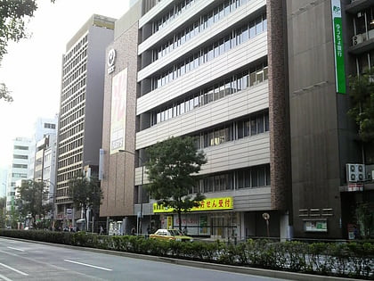
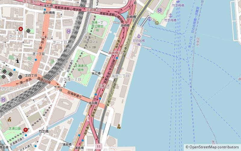
Kaigan is a district of Minato, Tokyo, Japan. The current administrative place names are Kaigan 1-chome to Kaigan 3-chome. It is an area where the residential address has been displayed. Kaigan 1-chome belongs to the Shiba district general branch office, and Kaigan 2-3 chome belongs to the Shibaura-Kōnan district general branch. ()
Address
港区 (芝浦)Tokyo
ContactAdd
Social media
Add
Day trips
Kaigan – popular in the area (distance from the attraction)
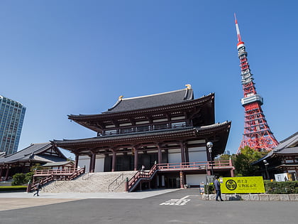
Nearby attractions include: Tsukiji Fish Market, Tokyo Tower, Hamarikyu Gardens, Zōjō-ji.
Frequently Asked Questions (FAQ)
Which popular attractions are close to Kaigan?
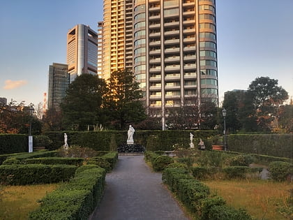
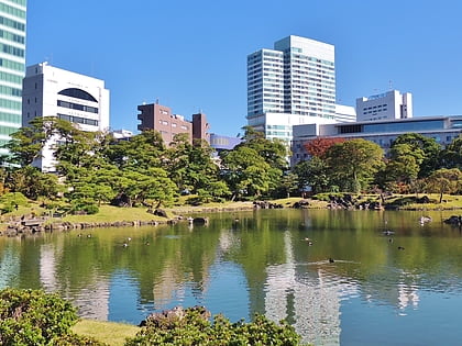
Nearby attractions include Kyū Shiba Rikyū Garden, Tokyo (11 min walk), Acty Shiodome, Tokyo (14 min walk), Mielparque Tokyo, Tokyo (17 min walk), NEC Supertower, Tokyo (17 min walk).
How to get to Kaigan by public transport?
The nearest stations to Kaigan:
Light rail
Bus
Ferry
Train
Metro
Light rail
- 日の出 • Lines: U (1 min walk)
- Hinode • Lines: U (1 min walk)
Bus
- 日の出桟橋入口 • Lines: 浜95 (3 min walk)
- 海岸二丁目 • Lines: 浜95 (4 min walk)
Ferry
- 竹芝桟橋 • Lines: 大島フェリー航路 岡田港 直通便, 東京~小笠原(父島)航路 (9 min walk)
Train
- Hamamatsucho (12 min walk)
- Monorail Hamamatsucho (12 min walk)
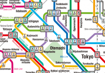
Metro
- Daimon • Lines: A, Al, E, Ks-Ae (16 min walk)
- Mita • Lines: A, Al, I, Ks-Ae (16 min walk)
 Metro
Metro


