Daiwatari Kanga ruins, Mito
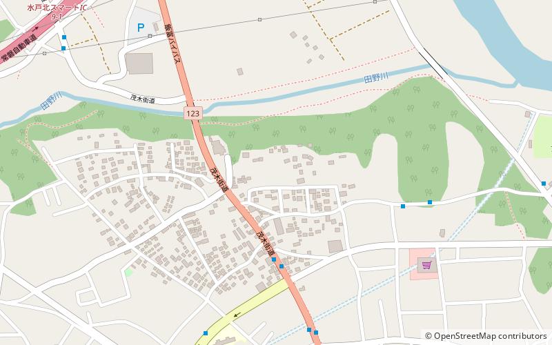
Map
Facts and practical information
The Daiwatari Kanga ruins is a group of archaeological sites with the ruins of a Nara to Heian period government administrative complex, associated Buddhist temple, and a warehouse complex located in what is now the Watari neighborhood of the city of Mito in Ibaraki prefecture in the northern Kantō region of Japan. The site has been protected as a National Historic Site from 2005. ()
Address
Mito
ContactAdd
Social media
Add
Day trips
Daiwatari Kanga ruins – popular in the area (distance from the attraction)
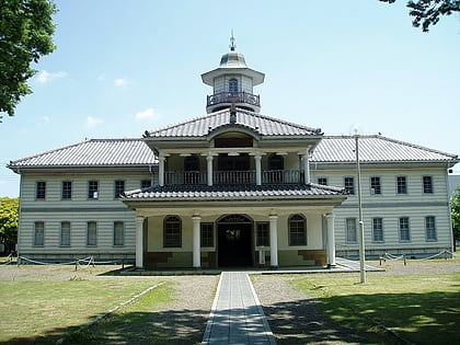
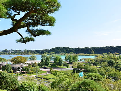
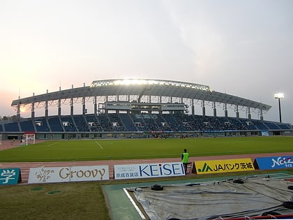
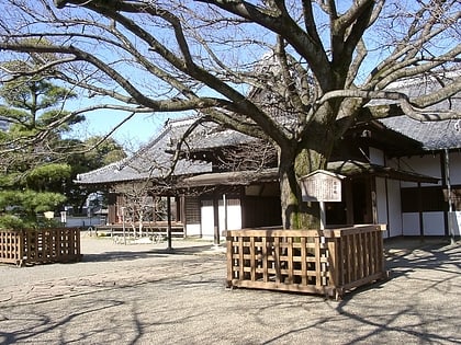
Nearby attractions include: Ibaraki Prefectural Museum of History, Kairaku-en, K's denki Stadium Mito, Kōdōkan.
Frequently Asked Questions (FAQ)
How to get to Daiwatari Kanga ruins by public transport?
The nearest stations to Daiwatari Kanga ruins:
Bus
Bus
- 台渡里 • Lines: 2, 40, 41, 45, 47 (4 min walk)
- Araya • Lines: 2 (7 min walk)
