Kita-Katsushika District, Kasukabe
#9 among attractions in Kasukabe

Facts and practical information
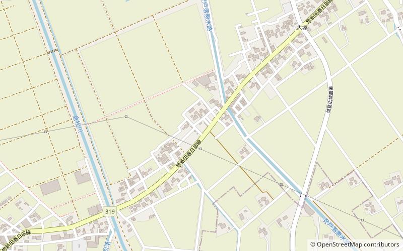
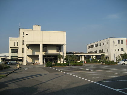
Kita-Katsushika is a district located in Saitama Prefecture, Japan. ()
Kasukabe Japan
Kita-Katsushika District – popular in the area (distance from the attraction)
Nearby attractions include: Tobu Zoo, Matsubushi, Iwatsuki Castle, Metropolitan Area Outer Underground Discharge Channel.
 Theme park, Amusement park, Zoo
Tobu Zoo, Kasukabe
84 min walk • Tobu Zoo is a combination of a zoo and an amusement park located in Miyashiro, Saitama Prefecture, Japan.
 Area
AreaMatsubushi, Noda
159 min walk • Matsubushi is a town located in Saitama Prefecture, Japan. As of 1 March 2021, the town had an estimated population of 28,787 in 12,141 households and a population density of 1800 persons per km². The total area of the town is 16.20 square kilometres.
 Forts and castles
Iwatsuki Castle, Kasukabe
135 min walk • Iwatsuki Castle is a Japanese castle located in Iwatsuki-ku, Saitama, in Saitama Prefecture, Japan. At the end of the Edo period, Tateyama Castle was home to the Ōoka clan, daimyō of Iwatsuki Domain, however the castle dates from the Muromachi period and was inhabited by many samurai lords over its history.
 Tunnel
Metropolitan Area Outer Underground Discharge Channel, Kasukabe
65 min walk • The Metropolitan Area Outer Underground Discharge Channel, is an underground water infrastructure project in Kasukabe, Saitama, Japan.
 City, Area
Satte, Kuki
128 min walk • Satte is a city located in Saitama Prefecture, Japan. As of 1 January 2021, the city had an estimated population of 50,256 in 22,853 households and a population density of 1500 persons per km². The total area of the city is 33.93 square kilometres.
 Town, Area
Miyashiro, Kasukabe
72 min walk • Miyashiro is a town located in Saitama Prefecture, Japan. As of 1 March 2021, the town had an estimated population of 33,823 in 15,234 households and a population density of 2100 persons per km². The total area of the town is 15.95 square kilometres.
 Town, Area
Sugito, Kasukabe
64 min walk • Sugito is a town located in Saitama Prefecture, Japan. As of 1 March 2021, the town had an estimated population of 44,402 in 19,409 households and a population density of 1500 persons per km². The total area of the town is 30.03 square kilometres.
 Specialty museum, Museum, Universities and schools
Nippon Institute of Technology, Kasukabe
87 min walk • Nippon Institute of Technology is a private university in Miyashiro, Saitama, Japan, established in 1967.
 Archaeological site
Shinpukuji Shell Mound, Kasukabe
151 min walk • The Shinpukuji Shell Midden is an archaeological site in the Iwatsuki neighborhood of the city of Saitama, Saitama Prefecture, in the Kantō region of Japan containing a late Jōmon period shell midden and settlement ruin.
 Archaeological site
Ōmori Shell Mound, Kasukabe
152 min walk • The Ōmori Shell Mounds was an archaeological site on the border of Shinagawa, Tokyo and Ōta, Tokyo, in the Kantō region of Japan containing a late Jōmon period shell midden and settlement ruin. The site was designated a National Historic Site of Japan in 1955, with the area under protection extended in 1986.
 Temple
Ci en si, Saitama
99 min walk • Jion-ji Temple is a Tendai sect temple located in Oaza Jion-ji, Iwatsuki-ku, Saitama City, Saitama Prefecture. The name of the temple is Kalinzan. The temple name is Saikyoin. The temple is the 12th temple of the Bando Sanjyu Sanjyu San Kannon the...