Ōmori Shell Mound, Kasukabe

Gallery (1)
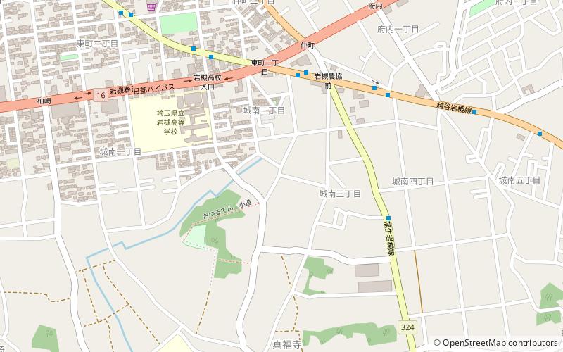
Map
Map
Facts and practical information
The Ōmori Shell Mounds was an archaeological site on the border of Shinagawa, Tokyo and Ōta, Tokyo, in the Kantō region of Japan containing a late Jōmon period shell midden and settlement ruin. The site was designated a National Historic Site of Japan in 1955, with the area under protection extended in 1986. ()
Coordinates: 35°56'26"N, 139°42'24"E
Address
Kasukabe
ContactAdd
Social media
Add
Day trips


Frequently Asked Questions (FAQ)
Which popular attractions are close to Ōmori Shell Mound?
Nearby attractions include Shinpukuji Shell Mound, Kasukabe (2 min walk), Iwatsuki Castle, Kasukabe (20 min walk).