Sakitama Bridge, Saitama
Map

Map

Facts and practical information
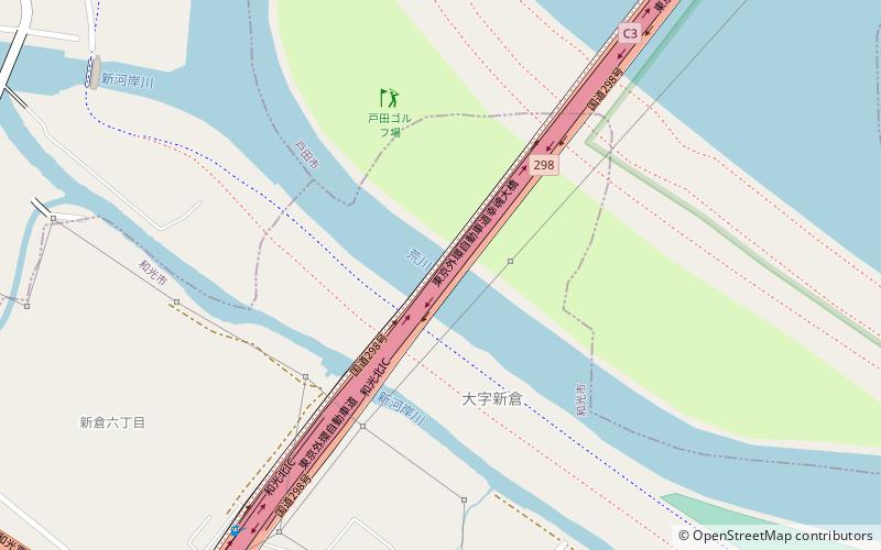
The Sakitama Bridge is a road bridge on Japan National Route 298 and the Tokyo Gaikan Expressway that spans the Arakawa/Shingashi River and the Arakawa Adjustment Pond between Bijogi, Toda and Niikura, Wakō in Saitama Prefecture. It is also known as Kotamabashi. ()
Address
Saitama
ContactAdd
Social media
Add
Day trips
Sakitama Bridge – popular in the area (distance from the attraction)
Nearby attractions include: Akatsuka Park, Hikarigaoka Park, Ōizumi-Chūō Park, Gobōyama Site.
Frequently Asked Questions (FAQ)
How to get to Sakitama Bridge by public transport?
The nearest stations to Sakitama Bridge:
Bus
Metro
Bus
- Hakujuso • Lines: 戸田04 (24 min walk)
- Sasame-koen • Lines: 戸田04 (25 min walk)
Metro
- Nishi-takashimadaira • Lines: I (41 min walk)


