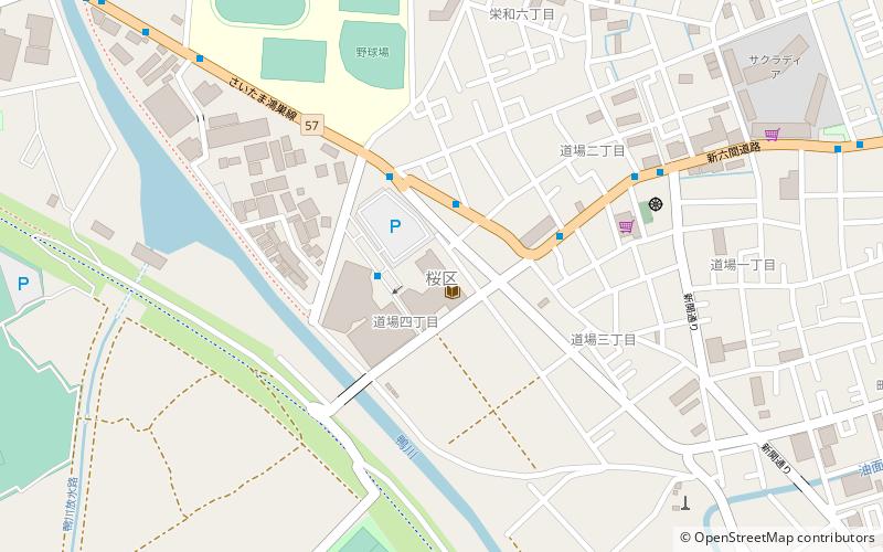
Sakura-ku, Saitama

Gallery (2)
Map
Map
Gallery
Facts and practical information
Sakura-ku is one of ten wards of the city of Saitama, in Saitama Prefecture, Japan, and is located in the southwestern part of the city. As of 1 March 2021, the ward had an estimated population of 95,829 and a population density of 5,100 persons per km². Its total area was 18.64 square kilometres. ()
Address
Saitama
ContactAdd
Social media
Add
Getting there by public transportation
Public transportation stops near this location
- Train
 Train
Train
- Calculate routeNishi-Urawa 33 min walk
- Calculate routeMinami-Yono 36 min walk
Day trips


Frequently Asked Questions (FAQ)
Which popular attractions are close to Sakura-ku?
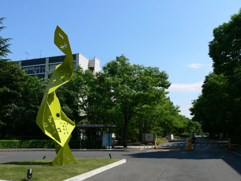
Nearby attractions include Saitama University, Saitama (11 min walk), Akigase Park, Saitama (16 min walk).
How to get to Sakura-ku by public transport?
The nearest stations to Sakura-ku:
Train
Train
- Nishi-Urawa (33 min walk)
- Minami-Yono (36 min walk)