Kantō Mountains, Chichibu-Tama-Kai National Park

Map
Facts and practical information
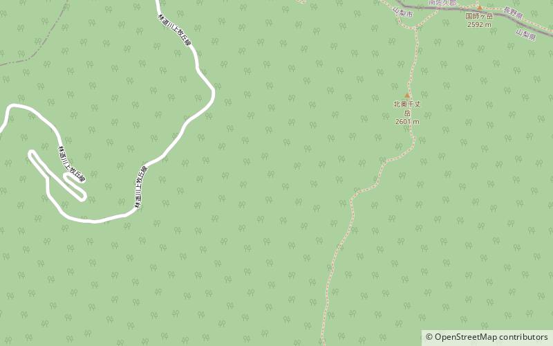
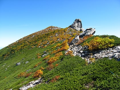
Kantō Mountains or Kantō Range is a mountain range that stretches from the western part of the Kantō region to the eastern part of the Chubu region in Japan. The mountain range is on the west side of the Kanto Plain and spans Gunma, Saitama, Tokyo, Kanagawa, Nagano, and Yamanashi prefectures. The highest peak of the mountain range is Mount Kitaokusenjo. ()
Address
Chichibu-Tama-Kai National Park
ContactAdd
Social media
Add
Day trips
Kantō Mountains – popular in the area (distance from the attraction)
Nearby attractions include: Mount Mizugaki, Mount Kobushi, Mount Kinpu, Okuchichibu Mountains.


