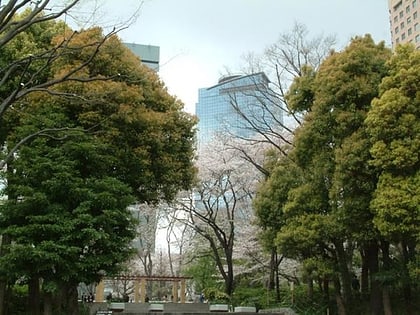
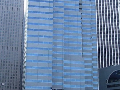
Shinjuku I-Land Tower, Tokyo
Map
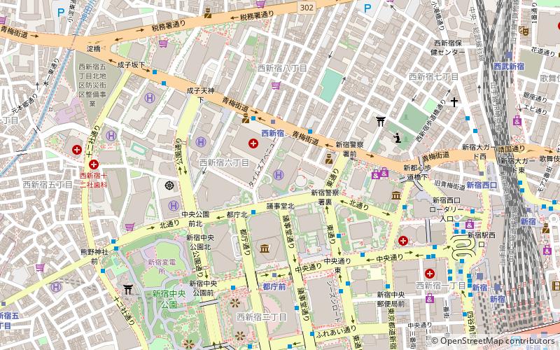
Map

Facts and practical information
Local name: 新宿アイランドタワー Architectural style: ModernHeight: 620 ftFloors: 48Coordinates: 35°41'35"N, 139°41'35"E
Address
新宿区 (西新宿)Tokyo
ContactAdd
Social media
Add
Day trips
Shinjuku I-Land Tower – popular in the area (distance from the attraction)
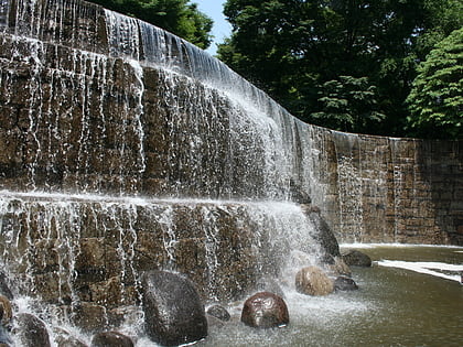
Nearby attractions include: Tochō, Tokyo Metropolitan Government, Shinjuku Niagara Falls, Sompo Japan Building.
Frequently Asked Questions (FAQ)
Which popular attractions are close to Shinjuku I-Land Tower?
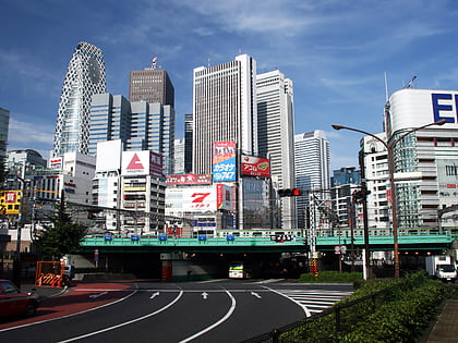
Nearby attractions include Shinjuku NS Building, Tokyo (1 min walk), Shinjuku Mitsui Building, Tokyo (3 min walk), Shinjuku Nomura Building, Tokyo (3 min walk), Shinjuku Sumitomo Building, Tokyo (4 min walk).
How to get to Shinjuku I-Land Tower by public transport?
The nearest stations to Shinjuku I-Land Tower:
Bus
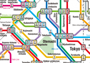
Metro
Train
Bus
- 東京医大病院前 • Lines: 王78 (3 min walk)
- Tocho-daiichi-choshamae • Lines: Ch01 (6 min walk)
Metro
- Nishi-shinjuku • Lines: M (3 min walk)
- Tochomae • Lines: E (5 min walk)
Train
- Seibu-Shinjuku (12 min walk)
- Shinjuku (12 min walk)

 Metro
Metro

