Ma Té Sai, Luang Prabang
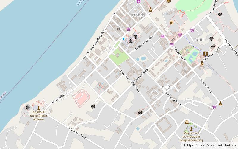
Map
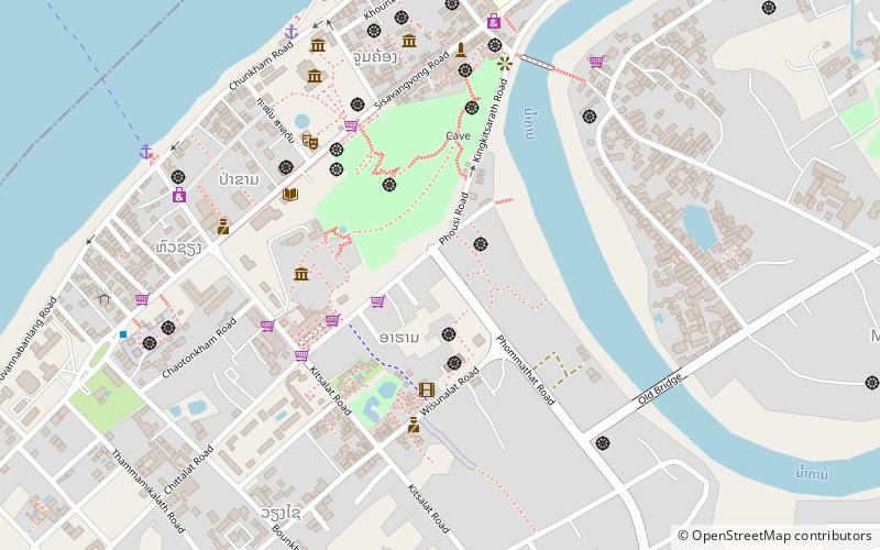
Map

Facts and practical information
Ma Té Sai (address: Ban Aphai) is a place located in Luang Prabang (Louangphrabang province) and belongs to the category of monuments and statues.
It is situated at an altitude of 991 feet, and its geographical coordinates are 19°53'19"N latitude and 102°8'17"E longitude.
Among other places and attractions worth visiting in the area are: Wat Aham (museum, 2 min walk), Phou si (nature, 4 min walk), Traditional Arts and Ethnology Centre (museum, 5 min walk).
Coordinates: 19°53'19"N, 102°8'17"E
Day trips
Ma Té Sai – popular in the area (distance from the attraction)
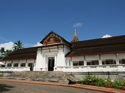
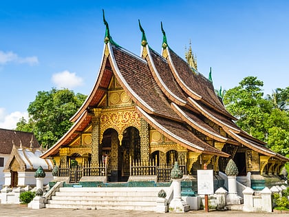
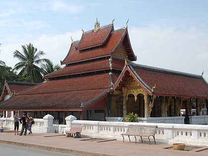
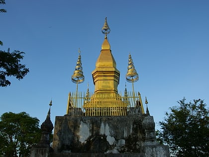
Nearby attractions include: Royal Palace, Wat Xieng Thong, Wat Mai Suwannaphumaham, Phou si.
Frequently Asked Questions (FAQ)
Which popular attractions are close to Ma Té Sai?
Nearby attractions include Wat Aham, Luang Prabang (2 min walk), Phou si, Luang Prabang (4 min walk), Traditional Arts and Ethnology Centre, Luang Prabang (5 min walk), Cave, Luang Prabang (6 min walk).

