Lambert Redoubt, Luxembourg
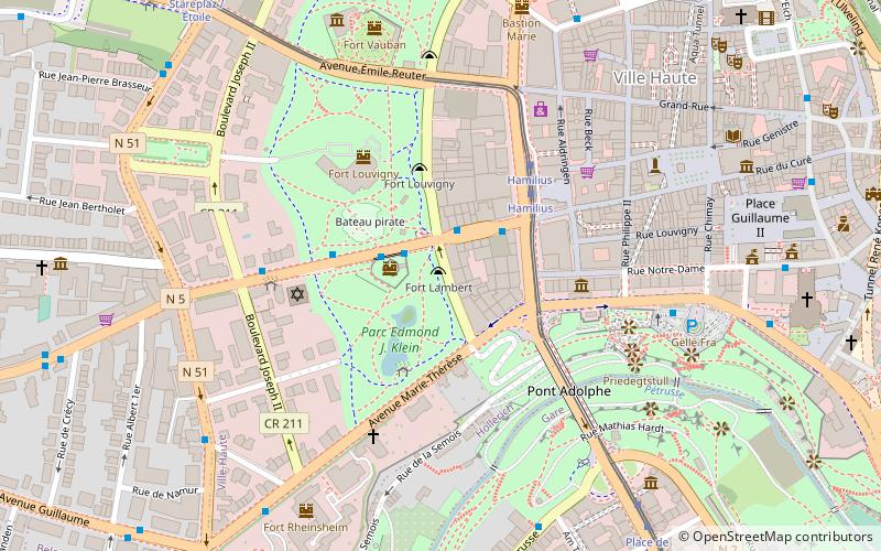
Map
Facts and practical information
The Lambert Redoubt is part of a seventeenth-century fort in the Municipal Park, Luxembourg City. The fort was destroyed by demolition in between 1868 and 1874, and the redoubt wasn't discovered until the city was excavating for the Monterey underground car park. ()
Coordinates: 49°36'36"N, 6°7'28"E
Day trips
Lambert Redoubt – popular in the area (distance from the attraction)
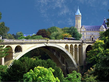
Nearby attractions include: Gëlle Fra, Notre-Dame Cathedral, Adolphe Bridge, Casino Luxembourg.
Frequently Asked Questions (FAQ)
Which popular attractions are close to Lambert Redoubt?
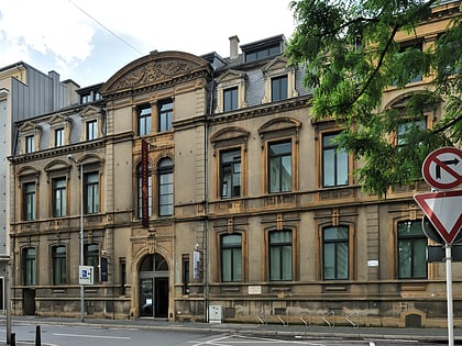
Nearby attractions include Villa Louvigny, Luxembourg (3 min walk), Casino Luxembourg, Luxembourg (4 min walk), Luxembourg Synagogue, Luxembourg (4 min walk), Casino Luxembourg - Forum d'art contemporain, Luxembourg (4 min walk).
How to get to Lambert Redoubt by public transport?
The nearest stations to Lambert Redoubt:
Bus
Tram
Train
Bus
- Luxembourg, Monterey • Lines: 12, 13, 17, 202, 203, 205, 212, 215, 22, 229, 260, 31, 321, 325, 5, 6, 611, 972 (3 min walk)
- Luxembourg, Hamilius • Lines: 10, 11, 12, 14, 15, 16, 18, 19, 2, 21, 22, 3, 31, 4, 6, 8, 9, 950, 955, Cn1, Cn2, Cn3, Cn4, Cn5, Cn6, Cn7, NLB Betzdorf, NLB Dudelange, NLB Flaxweiler (3 min walk)
Tram
- Luxembourg, Hamilius • Lines: T1 (3 min walk)
- Centre, Stäreplaz / Étoile • Lines: T1 (9 min walk)
Train
- Pfaffenthal-Kirchberg (19 min walk)
- Rout Bréck-Pafendall (21 min walk)


