Lameschmillen, Dudelange
Map
Map

Facts and practical information
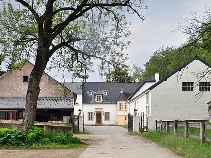
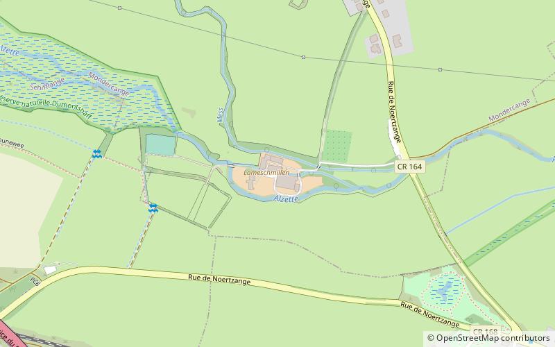
Lameschmillen, also known as the Bergemer Mühle, is located halfway between Bergem and Noertzange, at the confluence of the rivers Alzette and Mess. It is one of three watermills in Luxembourg with the same name. It marks the southern limit of the Dumontshaff Project at Dumontshaff/Dumontshof which converted a stretch of the upper Alzette into a nature reserve. The area is rich in wildlife, especially waterbirds. ()
Coordinates: 49°30'48"N, 6°2'35"E
Address
Dudelange
ContactAdd
Social media
Add
Day trips
Lameschmillen – popular in the area (distance from the attraction)
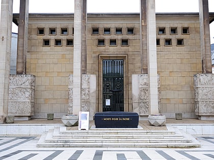
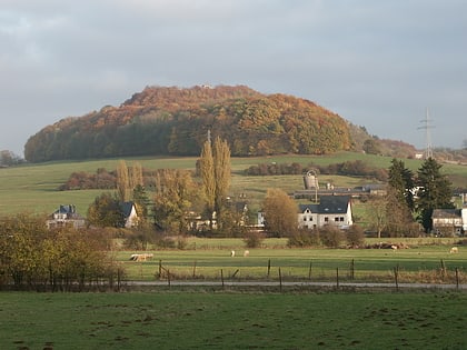
Nearby attractions include: National Resistance Museum, Bettembourg Castle, Tétange, Mont St. Jean.
Frequently Asked Questions (FAQ)
How to get to Lameschmillen by public transport?
The nearest stations to Lameschmillen:
Bus
Train
Bus
- Bergem, Naerzengerstrooss • Lines: 307 (9 min walk)
- Noertzange, Lohrwies • Lines: 307, 308 (12 min walk)
Train
- Noertzange (13 min walk)
