Higher Vocational Agricultural School of Bevalala, Antananarivo
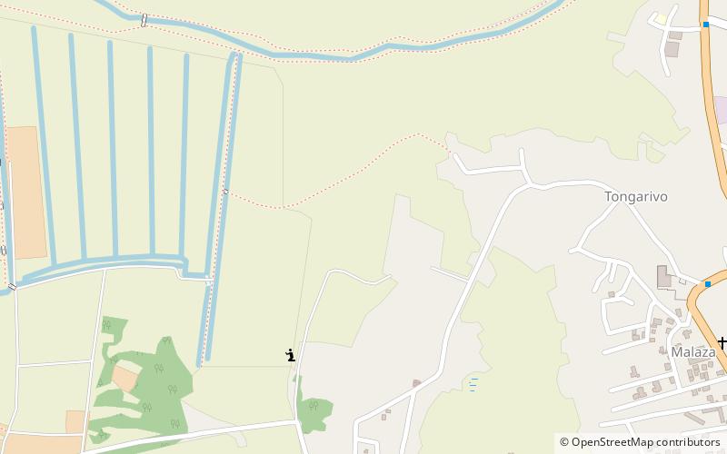
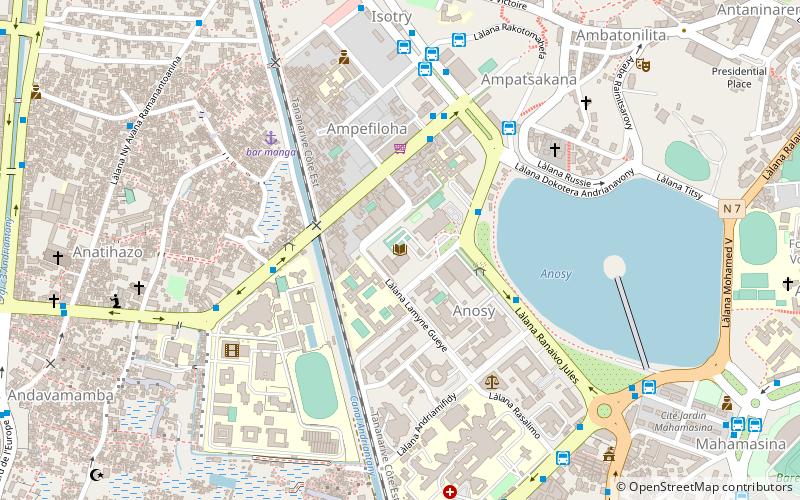
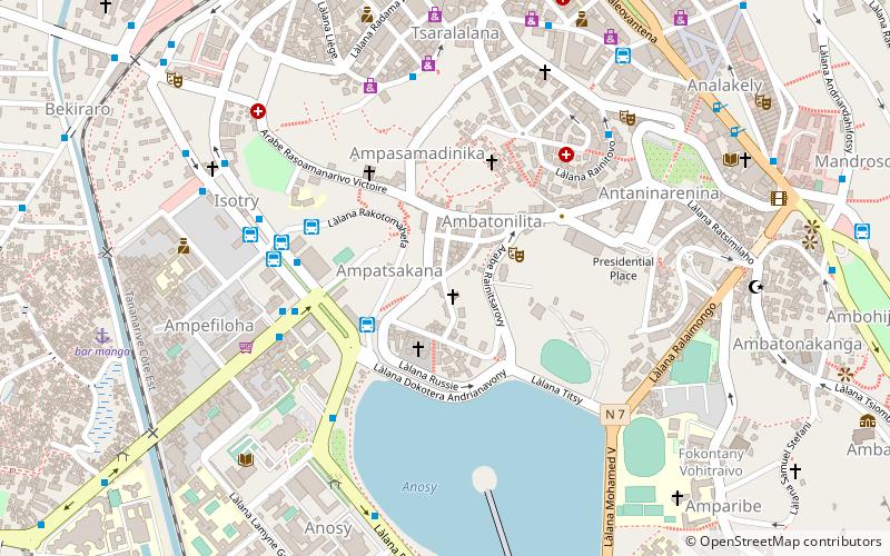
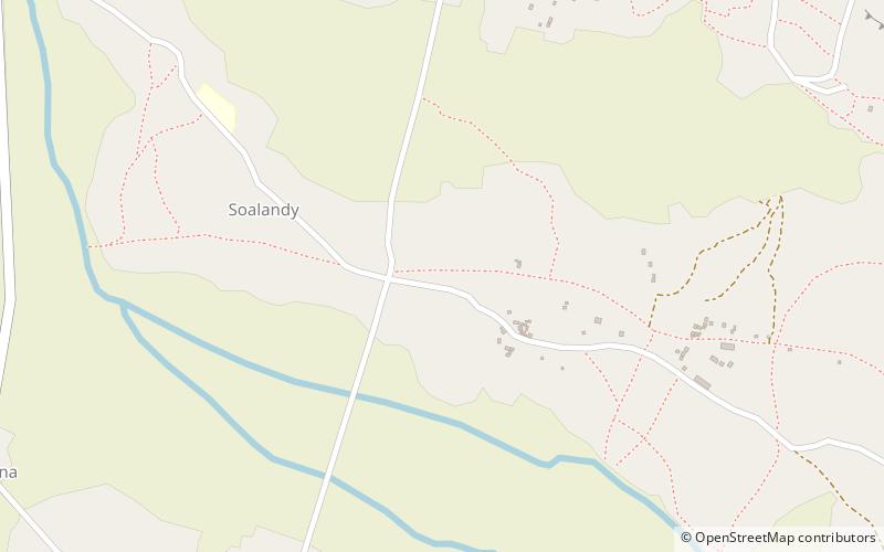
Map
Facts and practical information
Higher Vocational Agricultural School of Bevalala – Ecole Professionnelle Supérieure Agricole de Bevalala – in Bevalala, Madagascar, was in 1957 a Jesuit outreach to assist farmers and craftsmen with marginal income to increase their income. It has grown to offer a 3-year bachelor's degree. ()
Coordinates: 18°58'6"S, 47°31'18"E
Getting there by public transportation
Public transportation stops near this location
- Bus
 Bus
Bus
- Calculate routeAmbany Atsimo 15 min walk
- Calculate routemagasin M 16 min walk
- Calculate routeMalaza 17 min walk
- Calculate routeAnkady 19 min walk
Day trips
Higher Vocational Agricultural School of Bevalala – popular in the area (distance from the attraction)
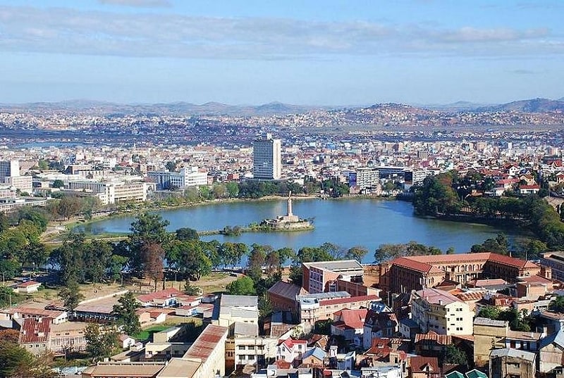
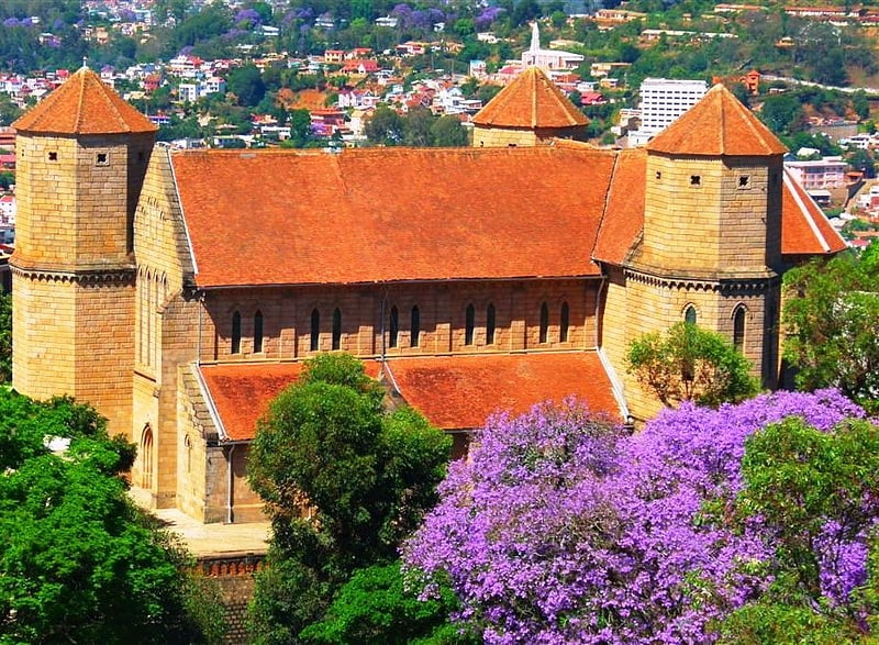
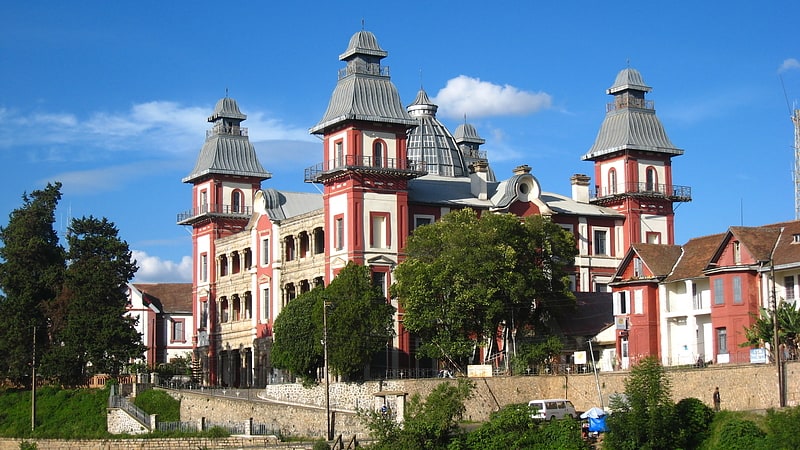
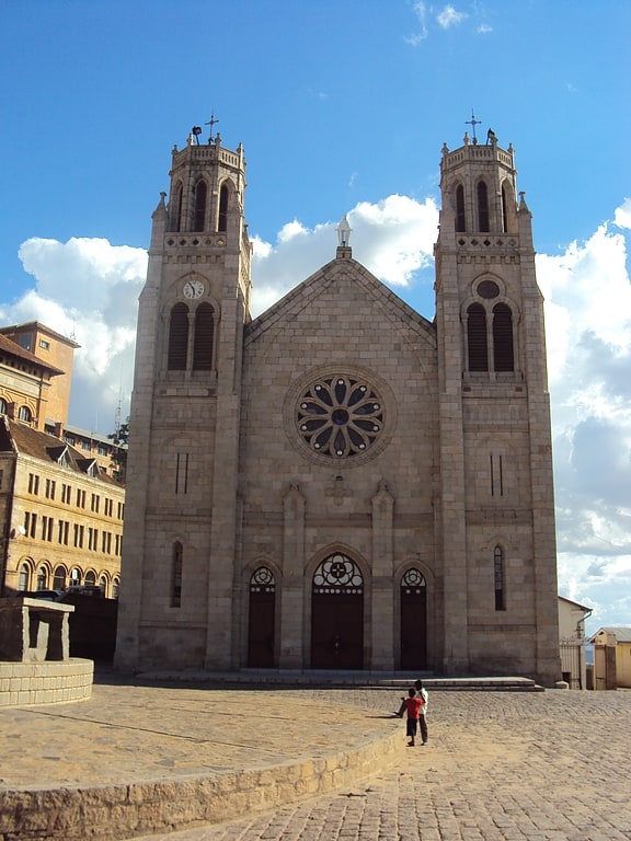
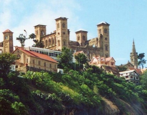
Nearby attractions include: Lake Anosy, Tsimbazaza, St. Lawrence Anglican Cathedral Ambohimanoro, Andafiavaratra Palace.

Frequently Asked Questions (FAQ)
How to get to Higher Vocational Agricultural School of Bevalala by public transport?
The nearest stations to Higher Vocational Agricultural School of Bevalala:
Bus
Bus
- Ambany Atsimo • Lines: 187 -67Ha (15 min walk)
- magasin M • Lines: 187 -67Ha (16 min walk)