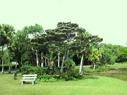
Curepipe Botanic Gardens, Curepipe
#3 among attractions in Curepipe

Facts and practical information
Curepipe Botanic Gardens in Route des Jardins, Curepipe, is the second largest botanical garden in Mauritius. ()
Curepipe Mauritius
Curepipe Botanic Gardens – popular in the area (distance from the attraction)
Nearby attractions include: Mare aux Vacoas, Municipal Council of Curepipe, Trou aux Cerfs, Trou aux Cerfs.
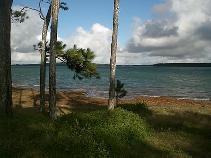 Secluded reservoir with guided walks
Mare aux Vacoas, Mauritius Island
87 min walk • Mare aux Vacoas is the largest reservoir in Mauritius. It is located in Plaines Wilhems, in the southwest of the island, to the south of the town of Curepipe.
 City hall
Municipal Council of Curepipe, Curepipe
18 min walk • The Municipal Council of Curepipe also known as Municipality is the local authority responsible for the administration of the town of Curepipe, Plaines Wilhems District, Mauritius. The current mayor is HanMargueritte.
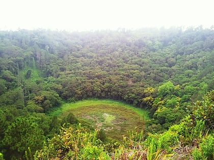 Dormant volcano crater with a small lake
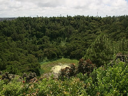
Trou aux Cerfs, Curepipe
41 min walk • Trou aux Cerfs is a dormant volcano with a well-defined cone and crater. It is 605 m high and located in Curepipe, Mauritius. The crater has been alternately described as 300 and 350 meters in diameter, and is 80 meters deep.
 Natural attraction, Historic walking areas, Park
Trou aux Cerfs, Curepipe
30 min walk • Trou aux Cerfs is a dormant volcano with a well-defined cone and crater. It is 605 m high and located in Curepipe, Mauritius. The crater has been alternately described as 300 and 350 meters in diameter, and is 80 meters deep.
 Stunning locale with waterfalls and pools
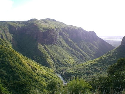
Tamarind Falls, Black River Gorges National Park
100 min walk • The Tamarind Falls or Tamarin Falls are a scenic attraction of southwest Mauritius. They are a series of seven cataracts located on the Rivière Tamarin, two kilometers northwest of the large lake Mare aux Vacoas.
 Lush mountain with hiking and views
Piton de la Petite Rivière Noire, Mauritius Island
157 min walk • Piton de la Petite Rivière Noire is the highest mountain on the island of Mauritius, in the Indian Ocean. Located in the Rivière Noire District and rising to a height of 828 m above sea level. It forms part of the Black River mountain range.
 Town
TownVacoas-Phoenix
78 min walk • Vacoas-Phoenix also known as French: Villes Jumelles, is a town in Mauritius, located in the Plaines Wilhems District, the eastern part also lies in the Moka District. The town is administered by the Municipal Council of Vacoas-Phoenix. The town lies between Quatre Bornes and Curepipe.
 Nature, Natural attraction, Mountain
Corps de Garde, Beau Bassin-Rose Hill
183 min walk • Corps de Garde is a 720-metre-high mountain of volcanic origin, in the area Palma in the Black River district of Mauritius. The name derived from the fact that a French military post was once established on its slope to control the bands of runaway slaves.

 Neighbourhood
Moka District, Mauritius Island
156 min walk • Moka is a district of Mauritius, situated in the central plateau of the island. The district has an area of 230.5 km² and the population estimate was at 83,664 as at the end of 2019.
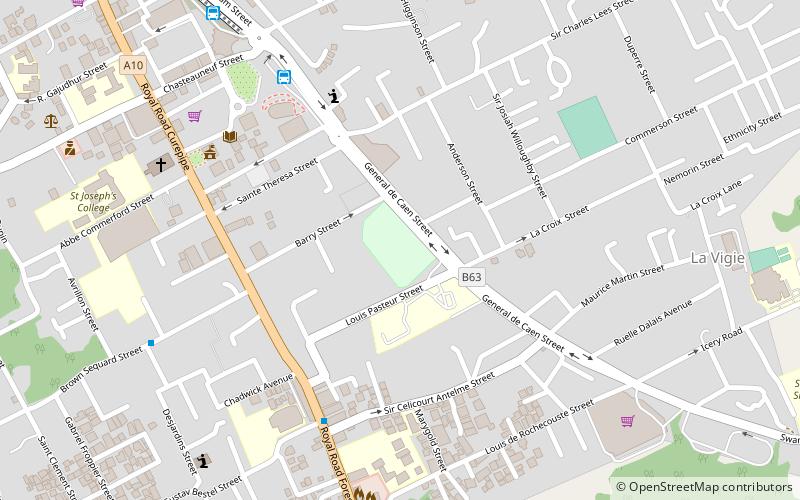 Sport, Arenas and stadiums, Sport venue
Stade George V, Curepipe
17 min walk • New George V Stadium is a football stadium in Curepipe, Mauritius. The stadium holds 6,500 people.
