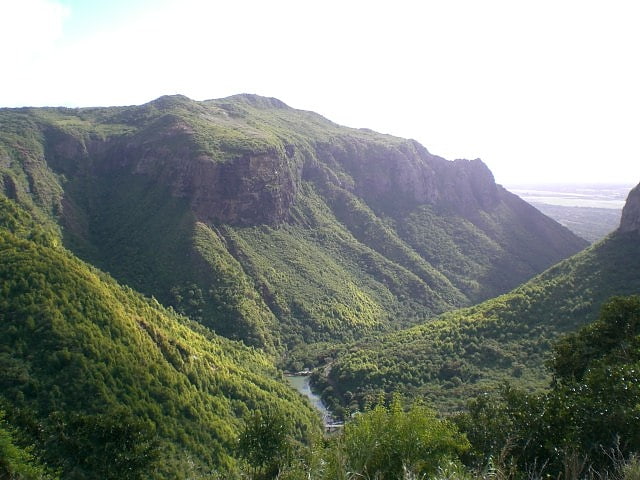
Tamarind Falls, Black River Gorges National Park
Gallery (1)
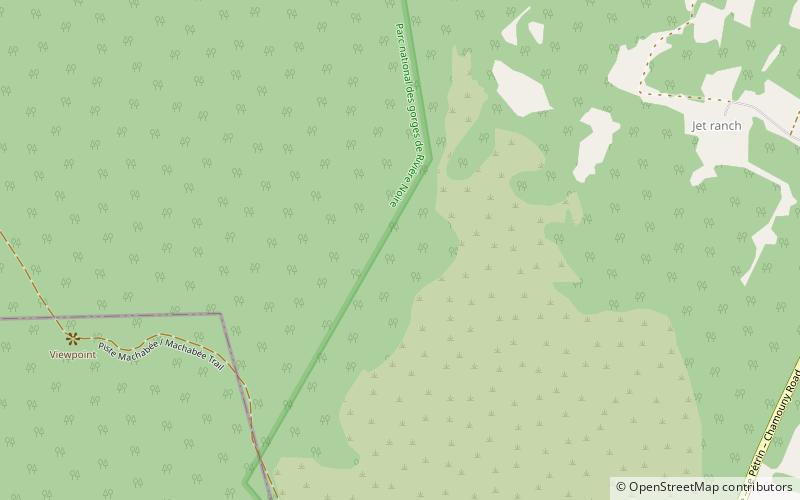
Map
Map
Facts and practical information
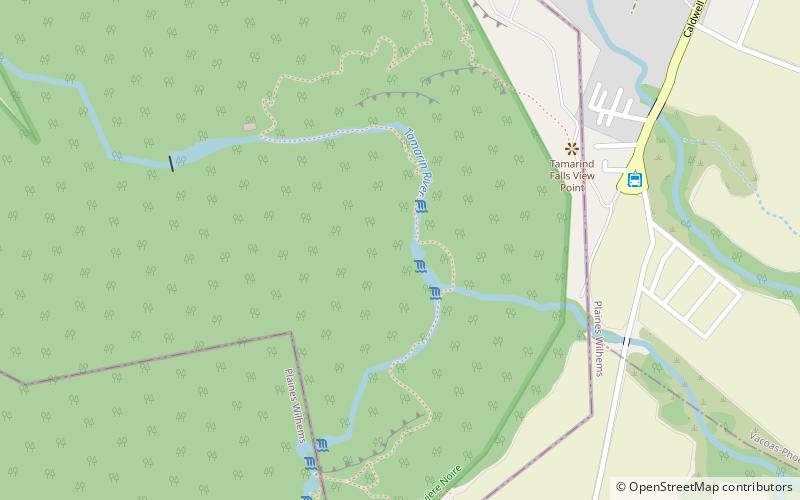
The Tamarind Falls or Tamarin Falls are a scenic attraction of southwest Mauritius. They are a series of seven cataracts located on the Rivière Tamarin, two kilometers northwest of the large lake Mare aux Vacoas. ()
Address
Black River Gorges National Park
ContactAdd
Social media
Add
Day trips