Trou aux Cerfs, Curepipe

Gallery (2)
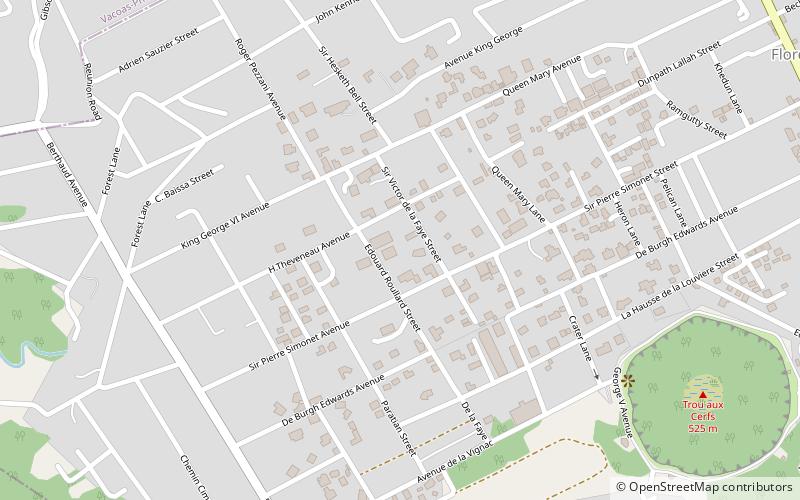
Map
Map
Gallery
Facts and practical information
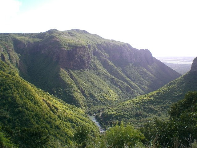
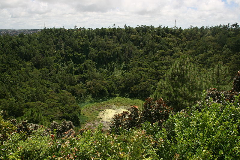
Trou aux Cerfs is a dormant volcano with a well-defined cone and crater. It is 605 m high and located in Curepipe, Mauritius. The crater has been alternately described as 300 and 350 meters in diameter, and is 80 meters deep. ()
Address
Curepipe
ContactAdd
Social media
Add
Day trips