Benito Juárez, Mexico City
Map
Gallery
Facts and practical information
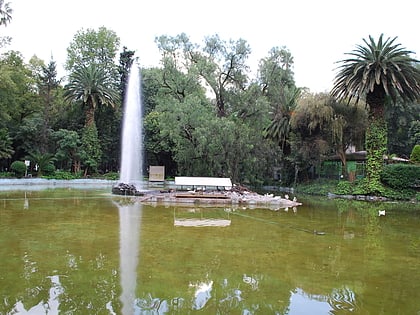
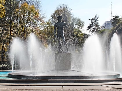
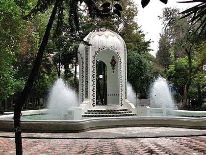
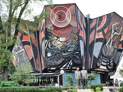
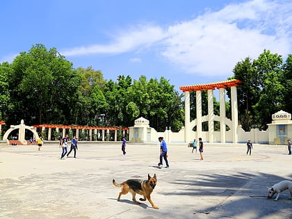
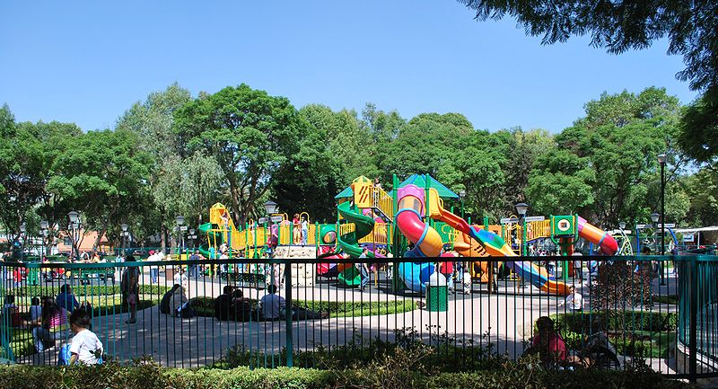
Benito Juárez, is a borough in the Mexico City. It is a largely residential area, located to the south of historic center of Mexico City, although there are pressures for areas to convert to commercial use. It was named after Benito Juárez, president in the 19th century. ()
Day trips
Benito Juárez – popular in the area (distance from the attraction)
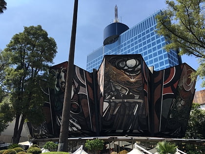
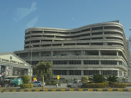
Nearby attractions include: Parque Delta, Centro Cultural Border, World Trade Center, World Trade Center Islamabad.
Frequently Asked Questions (FAQ)
Which popular attractions are close to Benito Juárez?
Nearby attractions include Panteón Francés, Mexico City (9 min walk), Centro Urbano Benito Juárez, Mexico City (14 min walk), Jardín Ramón López Velarde, Mexico City (15 min walk), Torre Axa México, Mexico City (15 min walk).
How to get to Benito Juárez by public transport?
The nearest stations to Benito Juárez:
Metro
Bus
Train
Metro
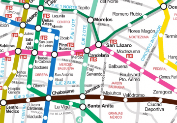
- Centro Médico • Lines: 3, 9 (10 min walk)
- Etiopía/Plaza de la Transparencia • Lines: 3 (13 min walk)
Bus
- Etiopía I • Lines: Línea 2 Tacubaya → Tepalcates, Línea 2 Tepalcates → Tacubaya (12 min walk)
- Amores • Lines: Línea 2 Tacubaya → Tepalcates, Línea 2 Tepalcates → Tacubaya (13 min walk)
Train
- Etiopía/Plaza de la Transparencia (13 min walk)
- Hospital General (24 min walk)



 Metro
Metro