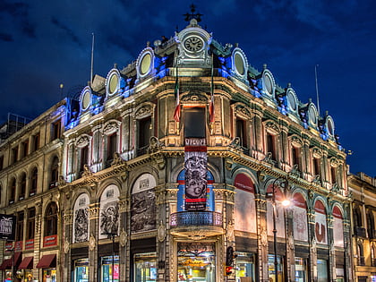
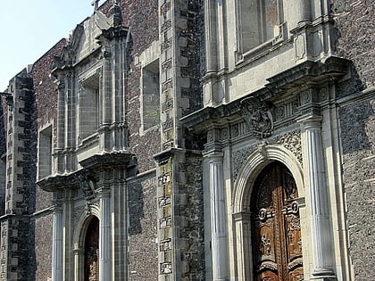
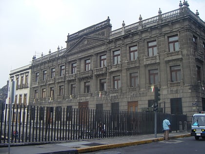
Historic center of Mexico City, Mexico City
Map
Gallery
Facts and practical information
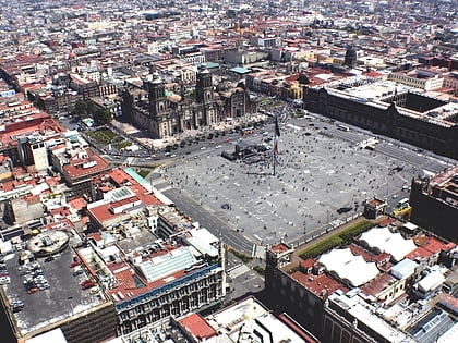
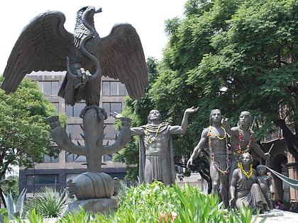
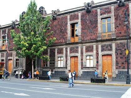
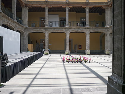
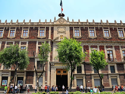
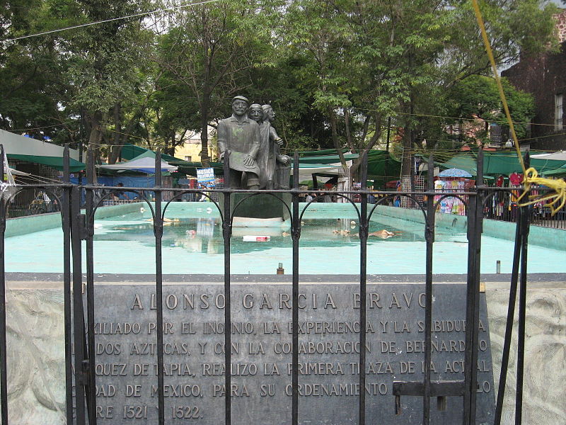
The historic center of Mexico City, also known as the Centro or Centro Histórico, is the central neighborhood in Mexico City, Mexico, focused on Zócalo or main plaza and extending in all directions for a number of blocks, with its farthest extent being west to the Alameda Central. The Zocalo is the largest plaza in Latin America. It can hold up to nearly 100,000 people. ()
Local name: Centro Histórico de la Ciudad de México Unesco: from 1987Area: 3.51 mi²Coordinates: 19°25'58"N, 99°7'60"W
Address
Cuauhtémoc (Centro)Mexico City
ContactAdd
Social media
Add
Day trips
Historic center of Mexico City – popular in the area (distance from the attraction)
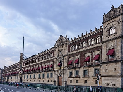
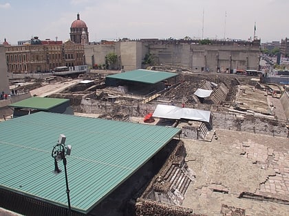
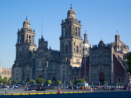
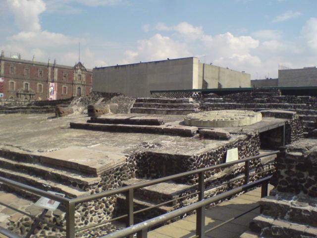
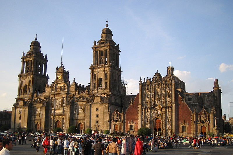
Nearby attractions include: Palacio Nacional, Templo Mayor, Mexico City Metropolitan Cathedral, Zócalo.
Frequently Asked Questions (FAQ)
Which popular attractions are close to Historic center of Mexico City?
Nearby attractions include Zócalo, Mexico City (1 min walk), Greater Mexico City, Mexico City (1 min walk), Zazacatla, Mexico City (2 min walk), Mexico City administrative buildings, Mexico City (2 min walk).
How to get to Historic center of Mexico City by public transport?
The nearest stations to Historic center of Mexico City:
Metro
Bus
Train
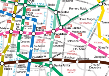
Metro
- Zócalo • Lines: 2 (2 min walk)
- Allende • Lines: 2 (8 min walk)
Bus
- República de Argentina • Lines: 4 (9 min walk)
- Teatro del Pueblo • Lines: 4 (12 min walk)
Train
- Isabel la Católica (14 min walk)
- Bellas Artes (14 min walk)



 Metro
Metro