Iztaccíhuatl, Iztaccíhuatl–Popocatépetl National Park

Gallery (3)
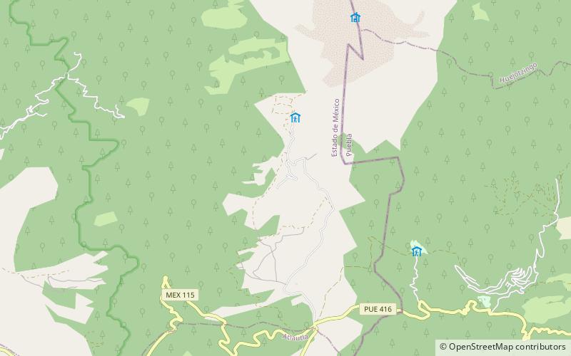
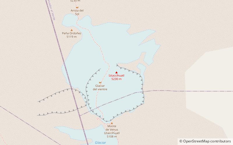
Map
Map
Gallery
Facts and practical information
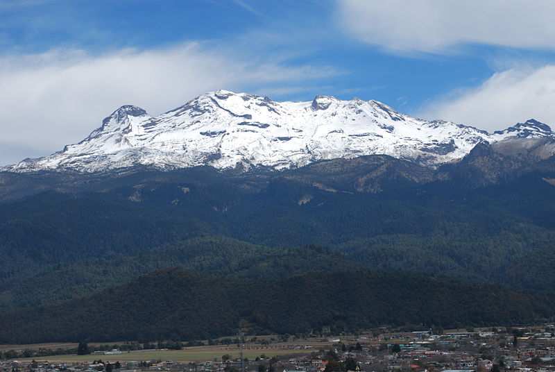
Iztaccíhuatl, is a 5,230 m dormant volcanic mountain in Mexico located on the border between the State of Mexico and Puebla within Izta-Popo Zoquiapan National Park. It is the nation's third highest, after Pico de Orizaba at 5,636 m, and Popocatépetl at 5,426 m. ()
Alternative names: First ascent: 1889Elevation: 17159 ftProminence: 5020 ftCoordinates: 19°10'13"N, 98°38'15"W
Address
Iztaccíhuatl–Popocatépetl National Park
ContactAdd
Social media
Add
Day trips