Chimalhuacán, Mexico City

Gallery (1)
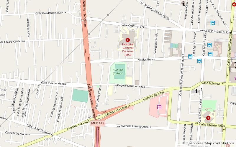
Map
Map
Facts and practical information
Chimalhuacán is a city and municipality located in the eastern part of State of Mexico, Mexico. It lies just outside the northeast border of Mexico City and is part of the Greater Mexico City urban area. ()
Getting there by public transportation
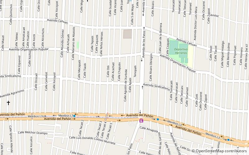
Public transportation stops near this location
- Bus
 Bus
Bus
- Calculate routeLos Patos 7 min walk
- Calculate routeSan Pablo 8 min walk
- Calculate routeRefugio 14 min walk
- Calculate routeIgnacio Manuel Altamirano 16 min walk
Maps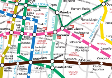 Metro
Metro
MetroDay trips


Frequently Asked Questions (FAQ)
How to get to Chimalhuacán by public transport?
The nearest stations to Chimalhuacán:
Bus
Bus
- Los Patos • Lines: Mexibús L3 Chimalhuacán-Pantitlá, Mexibús L3 Pantitlán-Chimalhuacán (7 min walk)
- San Pablo • Lines: Mexibús L3 Chimalhuacán-Pantitlá, Mexibús L3 Pantitlán-Chimalhuacán (8 min walk)