Ciudad Nezahualcóyotl, Mexico City

Gallery (6)
Map


Map

Gallery
Facts and practical information
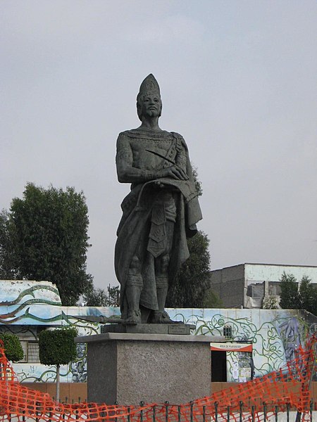
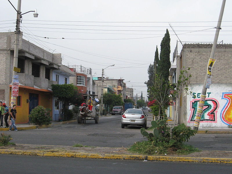
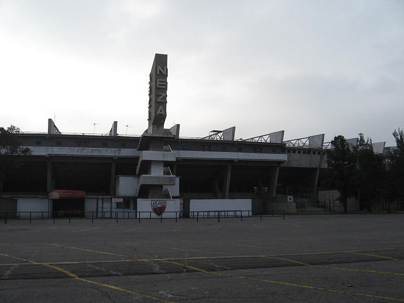
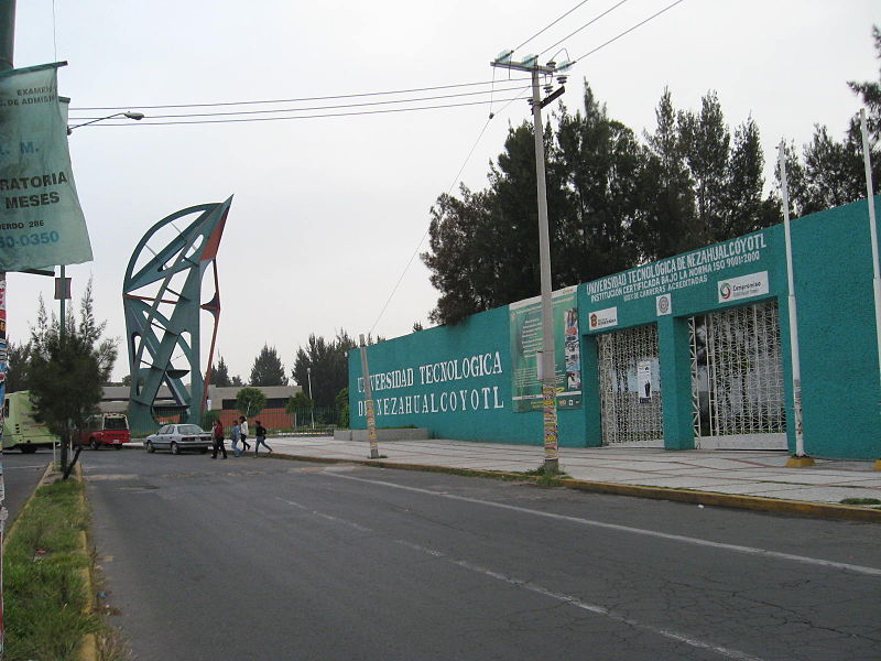
Nezahualcóyotl, or more commonly Neza, is a city and municipal seat of the municipality of Nezahualcóyotl in Mexico. It is located in the state of Mexico, adjacent to the east side of Mexico City. The municipality comprises its own intrastate region, Region IX. ()
Address
Mexico City
ContactAdd
Social media
Add
Getting there by public transportation
Public transportation stops near this location
- Bus
 Bus
Bus
- Calculate routePalacio Municipal 6 min walk
- Calculate routeAdolfo López Mateos 7 min walk
- Calculate routeSor Juana Inés de la Cruz 11 min walk
- Calculate routeEl Castillito 15 min walk
Maps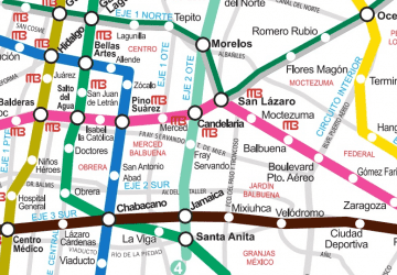 Metro
Metro
MetroDay trips


Frequently Asked Questions (FAQ)
How to get to Ciudad Nezahualcóyotl by public transport?
The nearest stations to Ciudad Nezahualcóyotl:
Bus
Bus
- Palacio Municipal • Lines: Mexibús L3 Chimalhuacán-Pantitlá, Mexibús L3 Pantitlán-Chimalhuacán (6 min walk)
- Adolfo López Mateos • Lines: Mexibús L3 Chimalhuacán-Pantitlá, Mexibús L3 Pantitlán-Chimalhuacán (7 min walk)