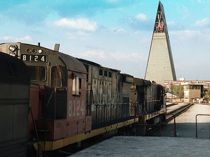
Colonia Santa María Insurgentes, Mexico City
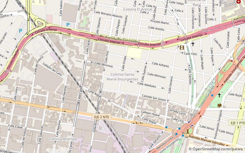
Map
Facts and practical information
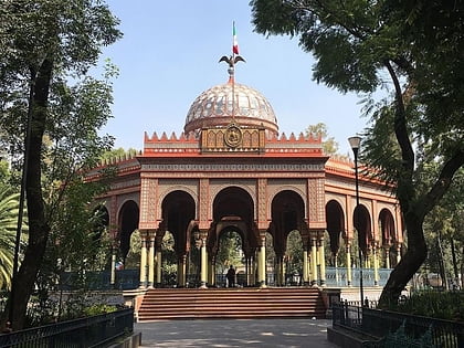
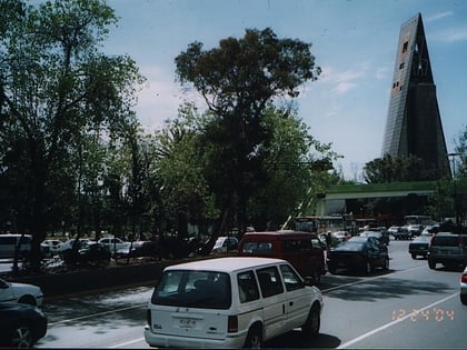
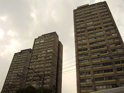
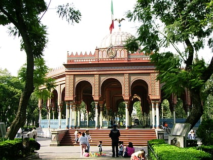
Colonia Santa María Insurgentes is a colonia in the Cuauhtémoc borough north east of the Mexico City’s historic center. The colonia’s borders are formed by the following roads: Calzada de San Simon to the south, Jacarandas to the north, Avenida de los Insurgentes Norte to the east and Jacarandas to the west. ()
Coordinates: 19°27'39"N, 99°9'10"W
Address
Cuauhtémoc (Santa María Insurgentes)Mexico City
ContactAdd
Social media
Add
Day trips
Colonia Santa María Insurgentes – popular in the area (distance from the attraction)
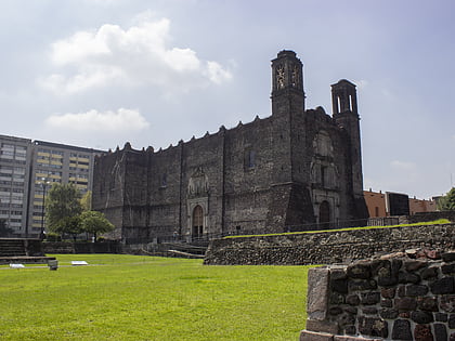
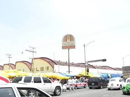
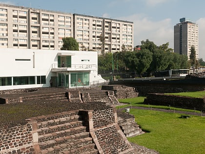
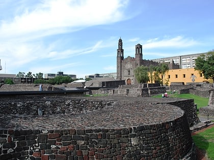
Nearby attractions include: Colegio de Santa Cruz de Tlatelolco, La Lagunilla Market, Plaza de las Tres Culturas, Tlatelolco Archaeological Site.
Frequently Asked Questions (FAQ)
Which popular attractions are close to Colonia Santa María Insurgentes?
Nearby attractions include Colonia Atlampa, Mexico City (11 min walk), Avenida de los Insurgentes, Mexico City (12 min walk), Torre Insignia, Mexico City (12 min walk), Colonia San Simón Tolnáhuac, Mexico City (16 min walk).
How to get to Colonia Santa María Insurgentes by public transport?
The nearest stations to Colonia Santa María Insurgentes:
Bus
Metro
Train
Bus
- Metrobus San Simón • Lines: Mb L1 (11 min walk)
- Circuito • Lines: Mb L1 (15 min walk)
Metro
- Tlatelolco • Lines: 3 (19 min walk)
- Buenavista • Lines: B (26 min walk)
Train
- Tlatelolco (19 min walk)
- Buenavista (23 min walk)
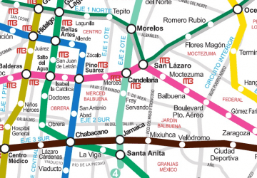 Metro
Metro