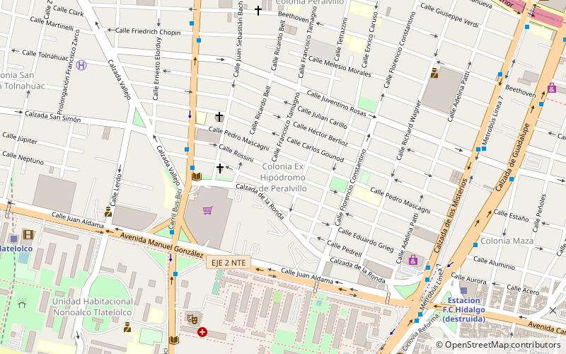
Colonia Peralvillo, Mexico City
Map
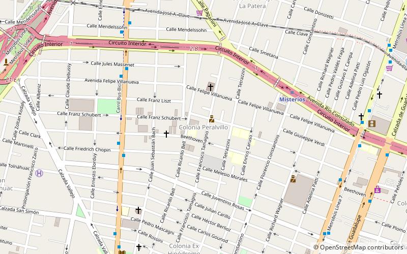
Map

Facts and practical information
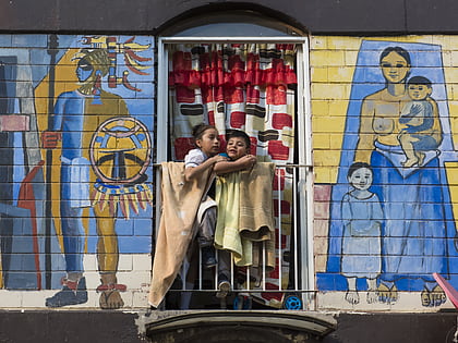
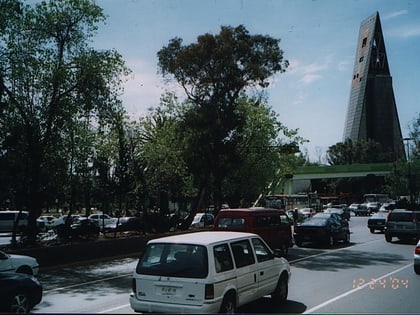
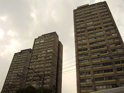
Colonia Peralvillo is a colonia located in the Cuauhtémoc borough of Mexico City, just northwest of the city's historic center. It has been a poor area since colonial times, but the modern colonia was not established until the late 19th and early 20th centuries. Although the area has been the setting for a number of literary works and films, today the area is known for violence and crime, especially shootings and the selling of stolen auto parts. ()
Coordinates: 19°27'43"N, 99°8'3"W
Address
Cuauhtémoc (Peralvillo)Mexico City
ContactAdd
Social media
Add
Day trips
Colonia Peralvillo – popular in the area (distance from the attraction)
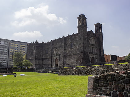
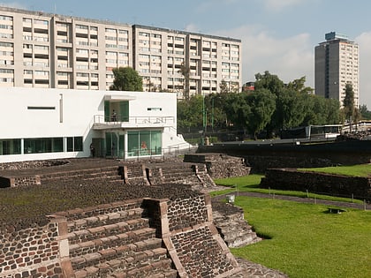
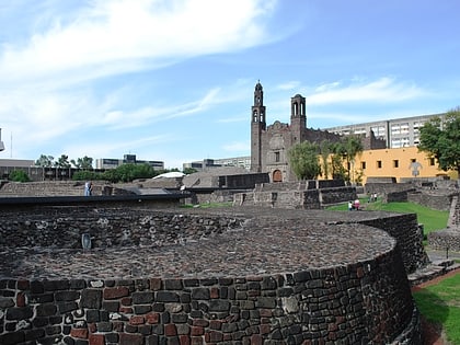
Nearby attractions include: Colegio de Santa Cruz de Tlatelolco, Tepito, Plaza de las Tres Culturas, Tlatelolco Archaeological Site.
Frequently Asked Questions (FAQ)
Which popular attractions are close to Colonia Peralvillo?
Nearby attractions include Colonia Ex Hipódromo de Peralvillo, Mexico City (9 min walk), Colonia San Simón Tolnáhuac, Mexico City (16 min walk), Maza, Mexico City (16 min walk), Plaza de las Tres Culturas, Mexico City (19 min walk).
How to get to Colonia Peralvillo by public transport?
The nearest stations to Colonia Peralvillo:
Metro
Bus
Train
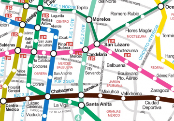
Metro
- Misterios • Lines: 5 (7 min walk)
- La Raza • Lines: 3, 5 (15 min walk)
Bus
- Misterios • Lines: Metrobús Línea 7 Campo Marte - Indios Verdes, Metrobús Línea 7 Indios Verdes - Campo Marte (12 min walk)
- Mercado Beethoven • Lines: Metrobús Línea 7 Campo Marte - Indios Verdes, Metrobús Línea 7 Indios Verdes - Campo Marte (12 min walk)
Train
- Tlatelolco (20 min walk)
- Potrero (28 min walk)

 Metro
Metro