Iztacalco, Mexico City

Facts and practical information
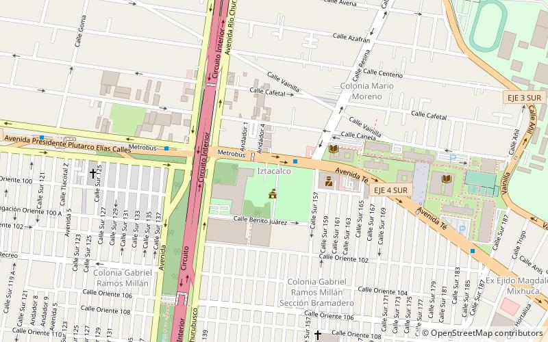
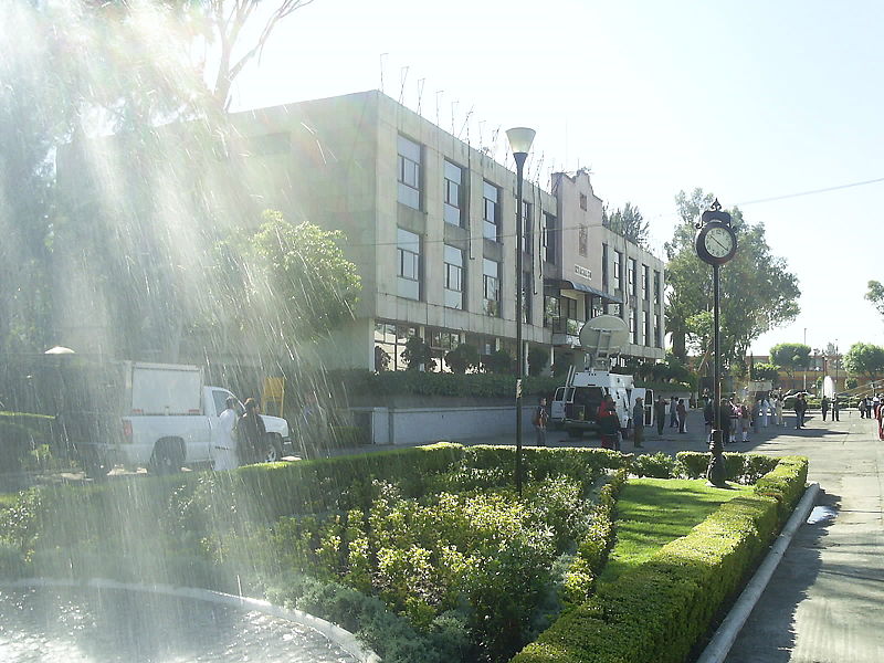
Iztacalco is a borough in the Mexico City. It is located in the central-eastern area and it is the smallest of the city's boroughs. The area's history began in 1309 when the island of Iztacalco, in what was Lake Texcoco, was settled in 1309 by the Mexica who would later found Tenochtitlan, according to the Codex Xolotl. The island community would remain small and isolated through the colonial period, but drainage projects in the Valley of Mexico dried up the lake around it. The area was transformed into a maze of small communities, artificial islands called chinampas and solid farmland divided by canals up until the first half of the 20th century. Politically, the area has been reorganized several times, being first incorporated in 1862 and the modern borough coming into existence in 1929. Today, all of the canals and farmland are dried out and urbanized as the most densely populated borough and the second most industrialized. ()
- Metro
- Bus
- Train
 Metro
Metro
- Calculate routeIztacalco 2 min walk
- Calculate routeGoma 6 min walk
- Calculate routeUpiicsa 12 min walk
- Calculate routeTlacotal 13 min walk
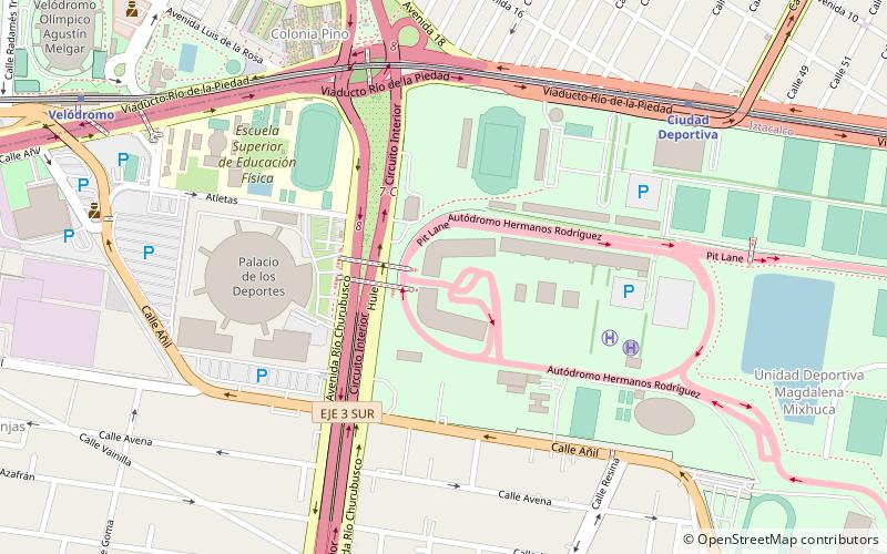
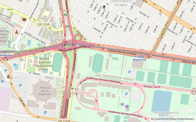
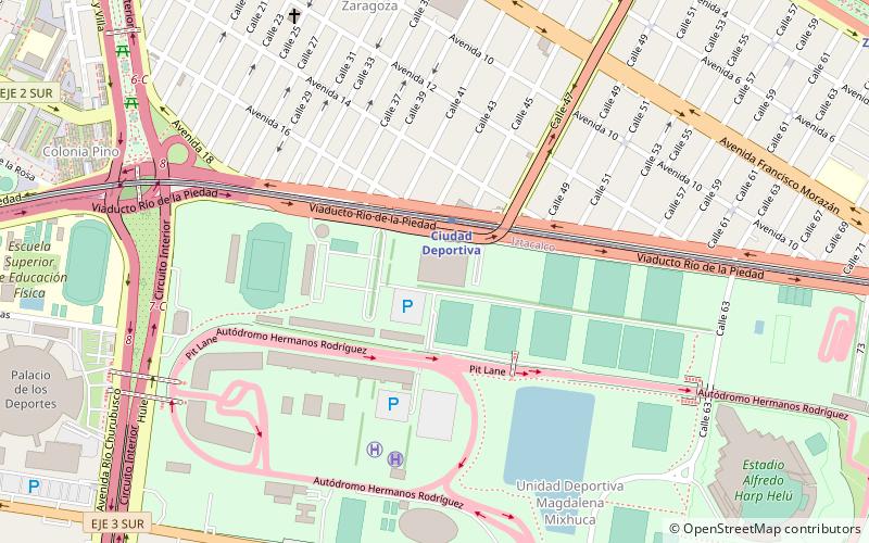
- Calculate routeCiudad Deportiva 24 min walk
- Calculate routeVelódromo 25 min walk
- Calculate routeCoyuya 29 min walk
- Calculate routeIztacalco 30 min walk
- Calculate routeZaragoza 37 min walk
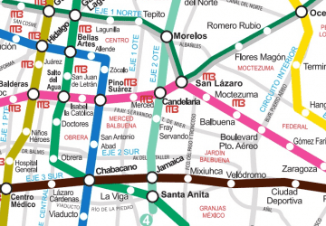 Metro
Metro


Frequently Asked Questions (FAQ)
Which popular attractions are close to Iztacalco?
How to get to Iztacalco by public transport?
Bus
- Iztacalco • Lines: Línea 2 Tacubaya → Tepalcates, Línea 2 Tepalcates → Tacubaya (2 min walk)
- Goma • Lines: Línea 2 Tacubaya → Tepalcates (6 min walk)
Metro
- Ciudad Deportiva • Lines: 9 (24 min walk)
- Velódromo • Lines: 9 (25 min walk)
Train
- Zaragoza (37 min walk)