Colonia Tránsito, Mexico City
Map
Facts and practical information
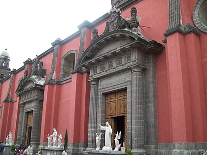
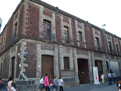
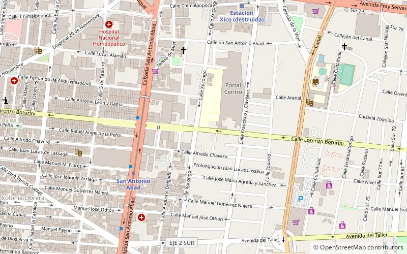
Colonia Tránsito is a colonia or neighborhood in the Cuauhtémoc borough of Mexico City, just south of the city's historic center. It is a residential area although there has been recent redevelopment for more commercial uses. It contains two colonial era churches, a number of buildings containing public offices and it is the home of soft drink maker Pascual Boing. ()
Coordinates: 19°25'4"N, 99°7'54"W
Address
Cuauhtémoc (Tránsito)Mexico City
ContactAdd
Social media
Add
Day trips
Colonia Tránsito – popular in the area (distance from the attraction)
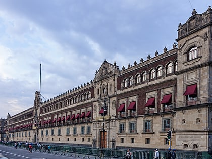
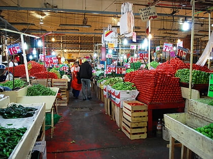
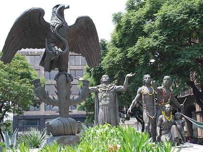
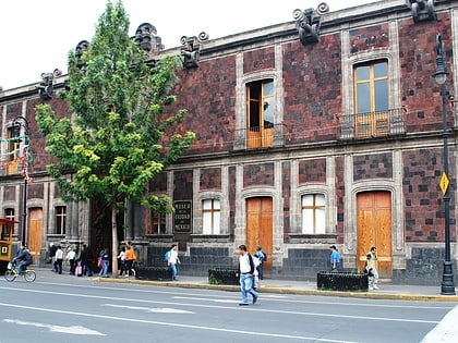
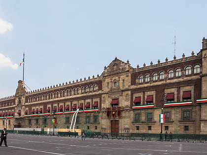
Nearby attractions include: Palacio Nacional, La Merced Market, Plaza Tenochtitlán, Museum of Mexico City.
Frequently Asked Questions (FAQ)
Which popular attractions are close to Colonia Tránsito?
Nearby attractions include Lake Texcoco, Mexico City (4 min walk), Colonia Esperanza, Mexico City (7 min walk), Plaza Tlaxcoaque, Mexico City (11 min walk), Colonia Paulino Navarro, Mexico City (12 min walk).
How to get to Colonia Tránsito by public transport?
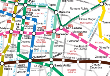
The nearest stations to Colonia Tránsito:
Metro
Train
Bus
Metro
- San Antonio Abad • Lines: 2 (6 min walk)
- Pino Suárez • Lines: 1, 2 (14 min walk)
Train
- San Antonio Abad (6 min walk)
- Chabacano (17 min walk)
Bus
- Cetram Santa Anita (31 min walk)
- Balderas • Lines: Gps (34 min walk)
 Metro
Metro