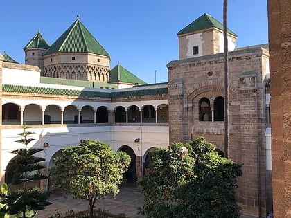
Grand Casablanca, Casablanca
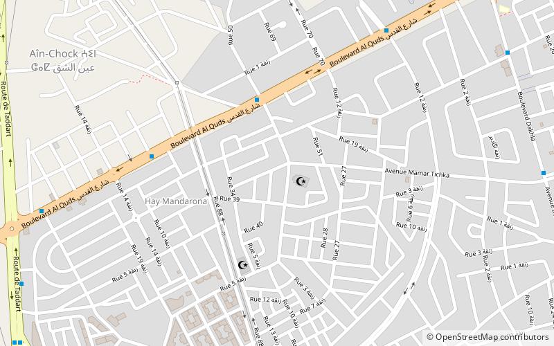
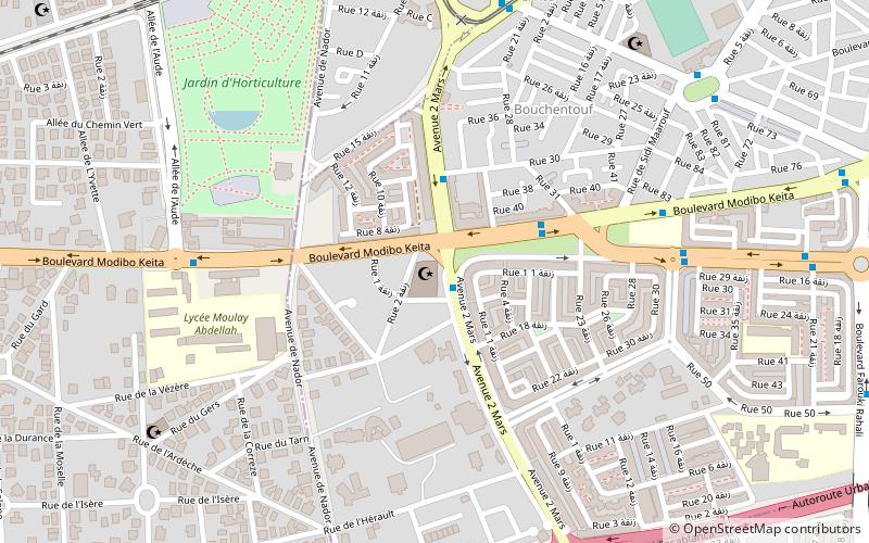
Map
Facts and practical information
Grand Casablanca or Greater Casablanca was one of the sixteen former regions of Morocco that existed from 1997 to 2015. Located in coastal northwestern Morocco, it was the most densely populated region and covered an area of 1,117 km². The population at the 2014 census was 4,270,750. The region was the economic heart of the Moroccan economy with Casablanca, the region's capital, being the effective economic capital of Morocco. ()
Local name: جهة الدار البيضاء الكبرى Established: 1997 (29 years ago)Area: 446.72 mi²Coordinates: 33°31'60"N, 7°36'33"W
Address
منطقة الدار البيضاء (عين الشق)Casablanca
ContactAdd
Social media
Add
Day trips
Grand Casablanca – popular in the area (distance from the attraction)
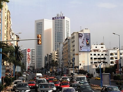
Nearby attractions include: Notre-Dame de Lourdes Church, Dar ul-Aala, Assunna Mosque, Twin Center.
Frequently Asked Questions (FAQ)
How to get to Grand Casablanca by public transport?
The nearest stations to Grand Casablanca:
Bus
Bus
- Renault QO • Lines: 105, 22, 4 (4 min walk)
- Café Idouar Ice • Lines: 105, 22, 4 (6 min walk)
