Borj Lalla Qadiya, Rabat
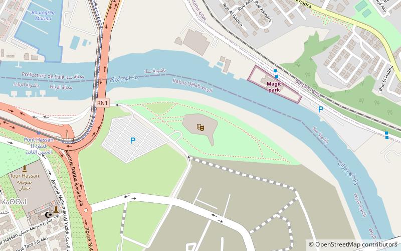
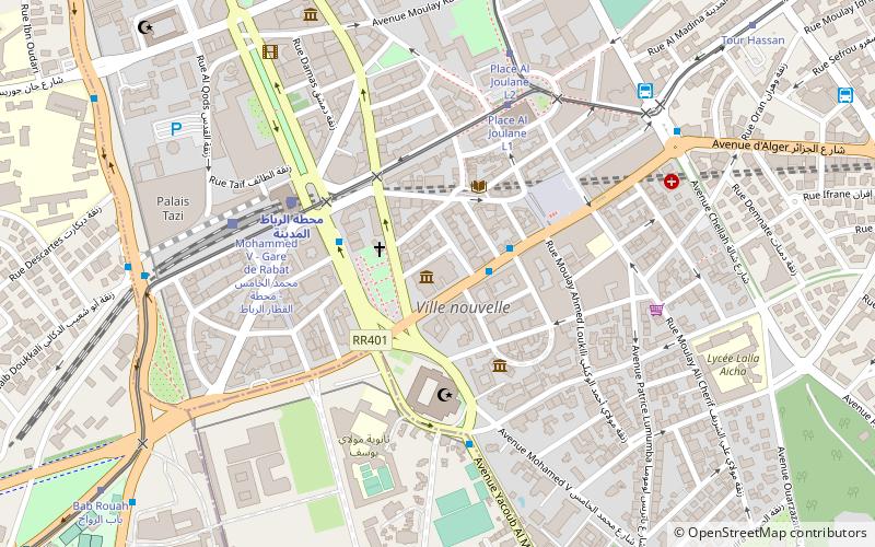
Map
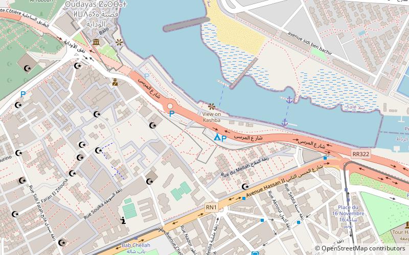
Map

Facts and practical information
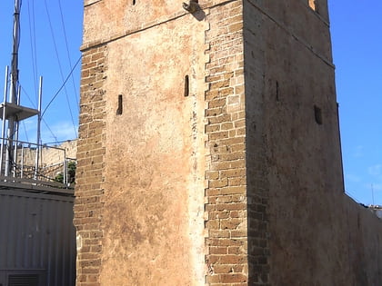
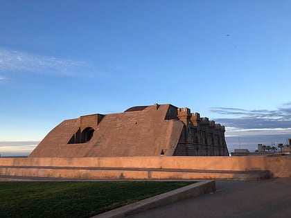
Borj Lalla Qadiya is a fort in the city of Rabat, Morocco. It is believed to be first built in the 17th century next to the tomb of a saint woman called Lalla Qdiya. It forms an important part of the walls protecting the city from northeast. ()
Coordinates: 34°1'39"N, 6°49'53"W
Address
Rabat
ContactAdd
Social media
Add
Day trips
Borj Lalla Qadiya – popular in the area (distance from the attraction)
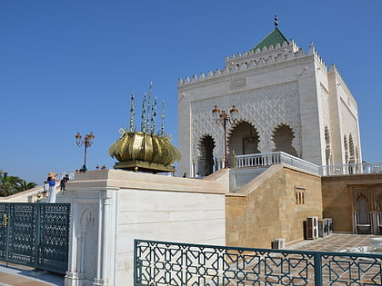
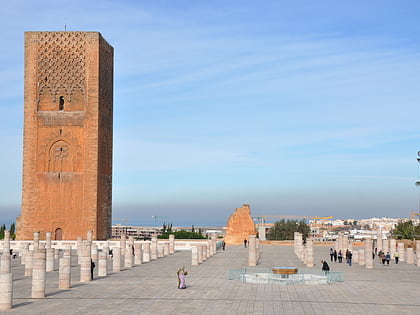
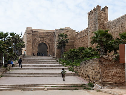
Nearby attractions include: Mausoleum of Mohammed V, Hassan Tower, Kasbah of the Udayas, As-Sunna Mosque.
Frequently Asked Questions (FAQ)
Which popular attractions are close to Borj Lalla Qadiya?
Nearby attractions include Rabbi Shalom Zaoui synagogue, Rabat (6 min walk), Great Mosque of Salé, Rabat (8 min walk), Kasbah of the Udayas, Rabat (10 min walk), Moulay Slimane Mosque, Rabat (12 min walk).
How to get to Borj Lalla Qadiya by public transport?
The nearest stations to Borj Lalla Qadiya:
Bus
Tram
Train
Bus
- Bayt el Moustakbal • Lines: 25 (7 min walk)
- Rue Melilia زنقة مليلية • Lines: 1, 12, 2, 22, 23, 24, 24U, 26, 4, 5 (9 min walk)
Tram
- Bab Chellah باب شالة • Lines: 2 (8 min walk)
- Place du 16 Novembre ساحة 16 نونبر • Lines: 1, 2 (10 min walk)
Train
- محطة الرباط المدينة (21 min walk)
- Gare Rabat Ville (22 min walk)
