Baruntse, Makalu Barun National Park
Map
Map

Facts and practical information
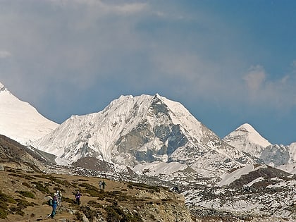
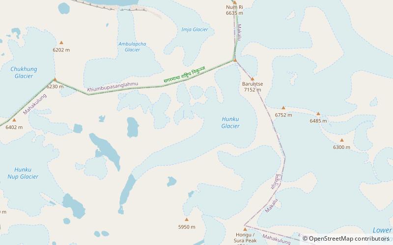
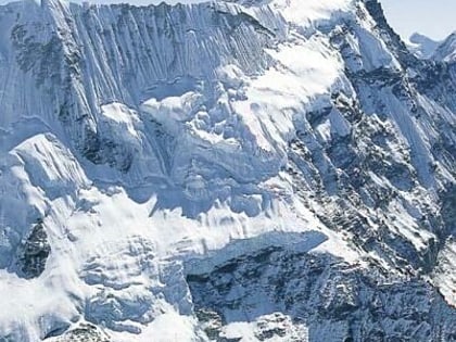
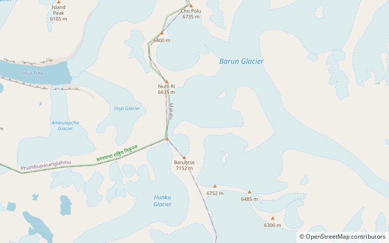
Baruntse is a mountain in the Khumbu region of eastern Nepal, crowned by four peaks and bounded on the south by the Hunku Glacier, on the east by the Barun Glacier, and on the northwest by the Imja Glacier. The mountain was first climbed May 30, 1954 via the south ridge by Colin Todd and Geoff Harrow of a New Zealand expedition led by Sir Edmund Hillary. The first ascent of the East Ridge was made on April 27, 1980 by Lorenzo Ortas, Javier Escartín, Jeronimo Lopez and Carlos Buhler of a Spanish expedition led by Juan José Díaz Ibañez. ()
Alternative names: First ascent: 1954Elevation: 23497 ftProminence: 3212 ftCoordinates: 27°52'60"N, 86°58'60"E
Address
Makalu Barun National Park
ContactAdd
Social media
Add
Day trips
Baruntse – popular in the area (distance from the attraction)
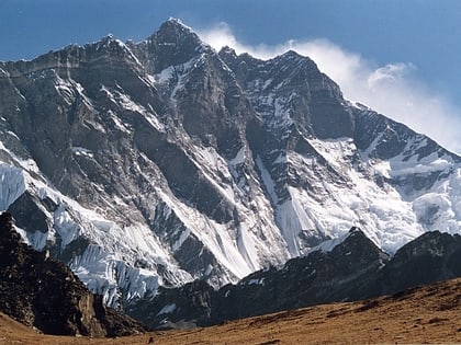
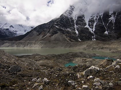
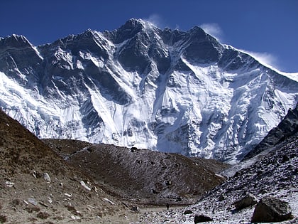
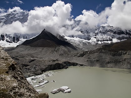
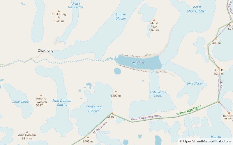
Nearby attractions include: Imja Tse, Lhotse, Imja Tsho, Cho Polu.

