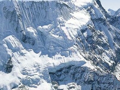
Imja Tsho, Sagarmatha National Park
Map
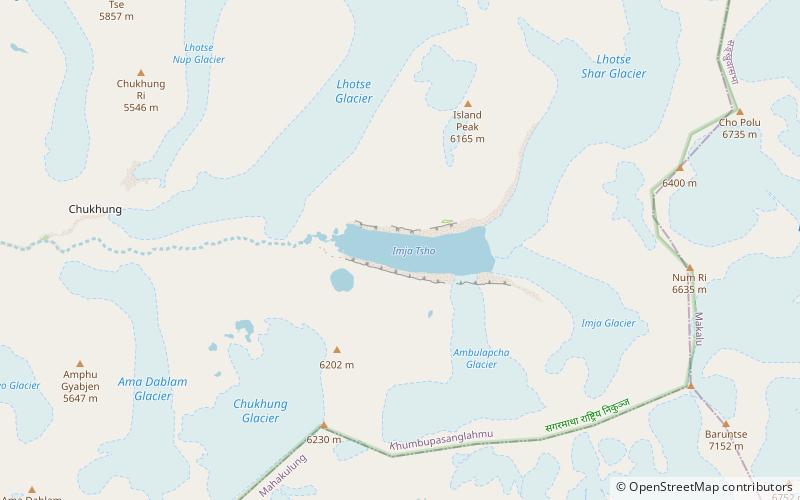
Map

Facts and practical information
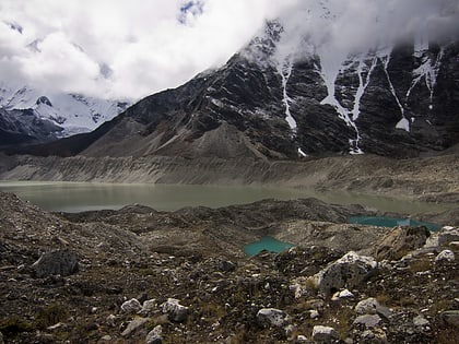
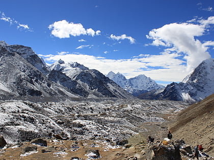
Imja Tsho is a glacial lake created after melt water began collecting at the foot of the Imja Glacier on the lower part of the glacier in the 1950s. A 2009 study described this lake of melt water as one of the fastest-growing in the Himalaya. Held in place by a terminal moraine, Imja Tsho threatens downstream communities with the potential for a glacial outburst flood. ()
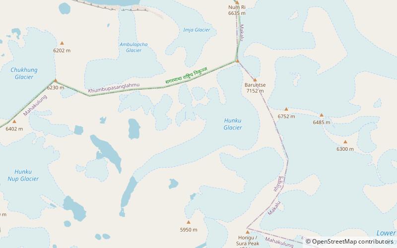
Local name: इम्जा हिमताल Area: 0.4 mi²Length: 6562 ftWidth: 2133 ftMaximum depth: 297 ftElevation: 16414 ft a.s.l.Coordinates: 27°53'54"N, 86°55'25"E
Address
Sagarmatha National Park
ContactAdd
Social media
Add
Day trips
Imja Tsho – popular in the area (distance from the attraction)
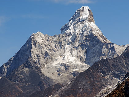
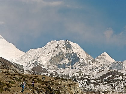
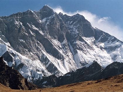
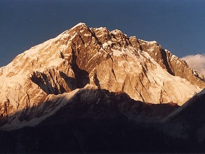
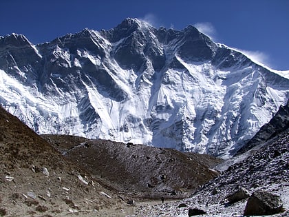
Nearby attractions include: Ama Dablam, Imja Tse, Lhotse, Nuptse.
Frequently Asked Questions (FAQ)
Which popular attractions are close to Imja Tsho?
Nearby attractions include Imja Glacier, Sagarmatha National Park (2 min walk), Ambulapcha Glacier, Chhukhung (19 min walk).
