Lhotse Shar, Qomolangma
#10 among attractions in Qomolangma

Facts and practical information
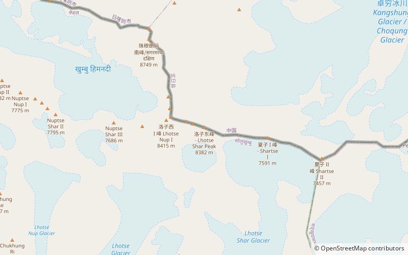
Lhotse Shar is a subsidiary mountain of Lhotse, at 8,383 m high. It was first climbed by Sepp Mayerl and Rolf Walter on 12 May 1970. ()
Qomolangma Nepal
Lhotse Shar – popular in the area (distance from the attraction)
Nearby attractions include: Hillary Step, Imja Tse, South Summit, Lhotse.
 Climbing
Hillary Step, Sagarmatha National Park
59 min walk • The Hillary Step was a nearly vertical rock face with a height of around 12 metres located near the summit of Mount Everest, about 8,790 metres above sea level.
 Natural attraction, Nature, Mountain
Imja Tse, Sagarmatha National Park
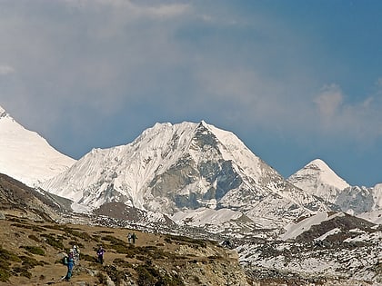
70 min walk • Imja Tse, better known as Island Peak, is a mountain in Sagarmatha National Park of the Himalayas of eastern Nepal. The peak was named Island Peak in 1953 by members of the British Mount Everest expedition because it appears as an island in a sea of ice when viewed from Dingboche.
 Natural attraction, Nature, Mountain
South Summit, Sagarmatha National Park
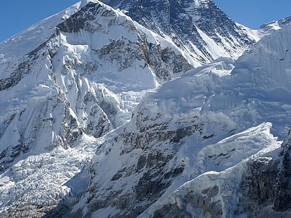
55 min walk • The South Summit of Mount Everest in the Himalayas is a subsidiary peak to the primary peak of Mount Everest. Although its elevation above sea level of 8,749 metres is higher than the second-highest mountain on Earth, K2, it is not considered a separate mountain as its prominence is only 11 meters.
 Natural attraction, Nature, Mountain
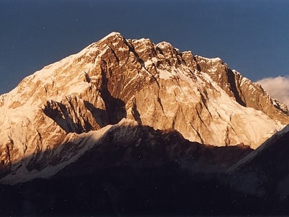
Lhotse, Sagarmatha National Park
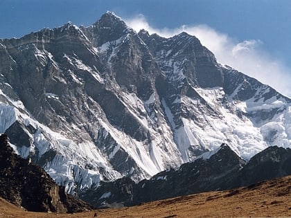
18 min walk • Lhotse is the fourth highest mountain in the world at 8,516 metres, after Mount Everest, K2, and Kangchenjunga. The main summit is on the border between Tibet and the Khumbu region of Nepal.
 Natural attraction, Nature, Mountain
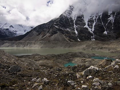
Nuptse, Mount Everest
84 min walk • Nuptse or Nubtse is a mountain in the Khumbu region of the Mahalangur Himal, in the Nepalese Himalayas. It lies two kilometres WSW of Mount Everest. Nubtse is Tibetan for "west peak", as it is the western segment of the Lhotse-Nubtse massif.
 Natural attraction, Nature, Lake
Imja Tsho, Sagarmatha National Park
111 min walk • Imja Tsho is a glacial lake created after melt water began collecting at the foot of the Imja Glacier on the lower part of the glacier in the 1950s. A 2009 study described this lake of melt water as one of the fastest-growing in the Himalaya.
 Nature, Natural attraction, Mountain
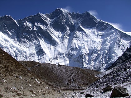
Cho Polu
92 min walk • Cho Polu is a mountain in the Khumbu region of eastern Nepal. Southern neighbors include Num Ri and Baruntse while Imja Tse lies immediately to the west.
 Natural attraction, Nature, Mountain
Hillary Peak, Sagarmatha National Park
54 min walk • Hillary Peak is the name which has been proposed by the Government of Nepal for a 7,681 metres peak in the Himalayas in honour of Edmund Hillary, who made the first ascent of Everest with Tenzing Norgay in 1953.
 Natural attraction, Mountain
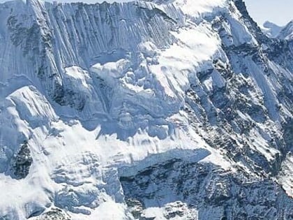
Baruntse, Makalu Barun National Park
147 min walk • Baruntse is a mountain in the Khumbu region of eastern Nepal, crowned by four peaks and bounded on the south by the Hunku Glacier, on the east by the Barun Glacier, and on the northwest by the Imja Glacier.
 Natural attraction, Nature, Mountain
Num Ri, Sagarmatha National Park
121 min walk • Num Ri is a mountain in the Khumbu region of the Nepalese Himalayas. Num Ri consists of a long ridge that culminates eastwards in a pyramid summit. Neighbouring mountains are Island Peak, Baruntse and Cho Polu.
 Natural attraction, Nature, Natural feature
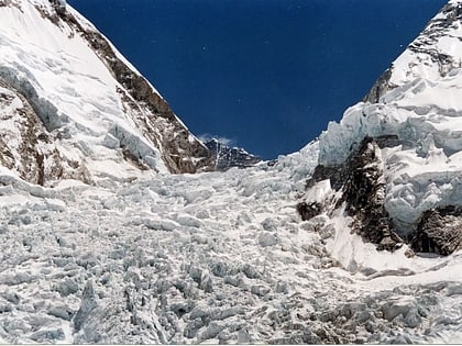
Khumbu Icefall, Mount Everest
129 min walk • The Khumbu Icefall is located at the head of the Khumbu Glacier and the foot of the Western Cwm, which lies at an altitude of 5,486 metres on the Nepali slopes of Mount Everest, not far above Base Camp and southwest of the summit.
