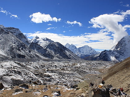
Western Cwm, Mount Everest
Map
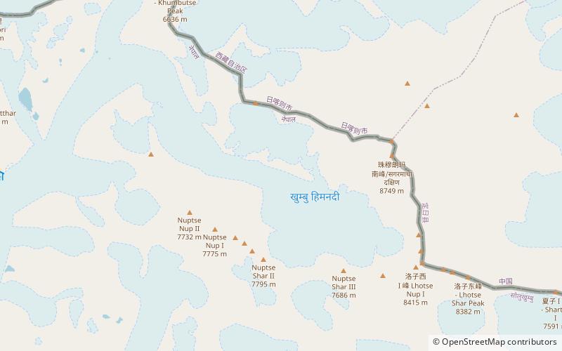
Map

Facts and practical information
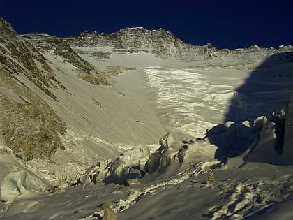
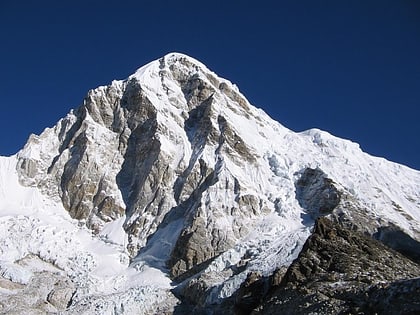
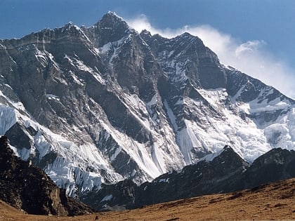
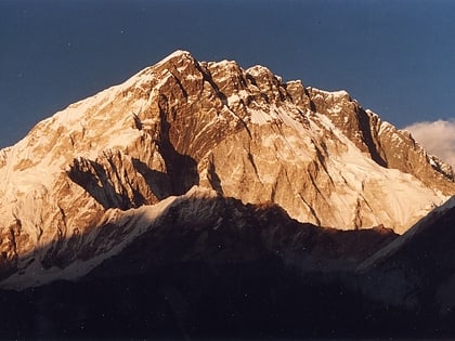
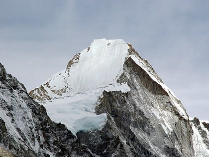
The Western Cwm is a broad, flat, gently undulating glacial valley basin terminating at the foot of the Lhotse Face of Mount Everest. It was named by George Mallory when he saw it in 1921 as part of the British Reconnaissance Expedition that was the first to explore the upper sections of Everest, searching for routes for future summit attempts; Cwm is Welsh for "valley". ()
Address
Mount Everest
ContactAdd
Social media
Add
Day trips
Western Cwm – popular in the area (distance from the attraction)
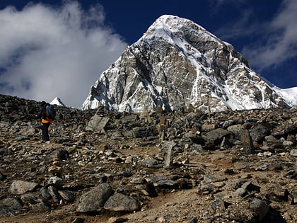
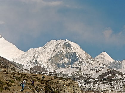
Nearby attractions include: Hillary Step, Kala Patthar, Imja Tse, South Summit.
