Molenhoek, 's-Hertogenbosch
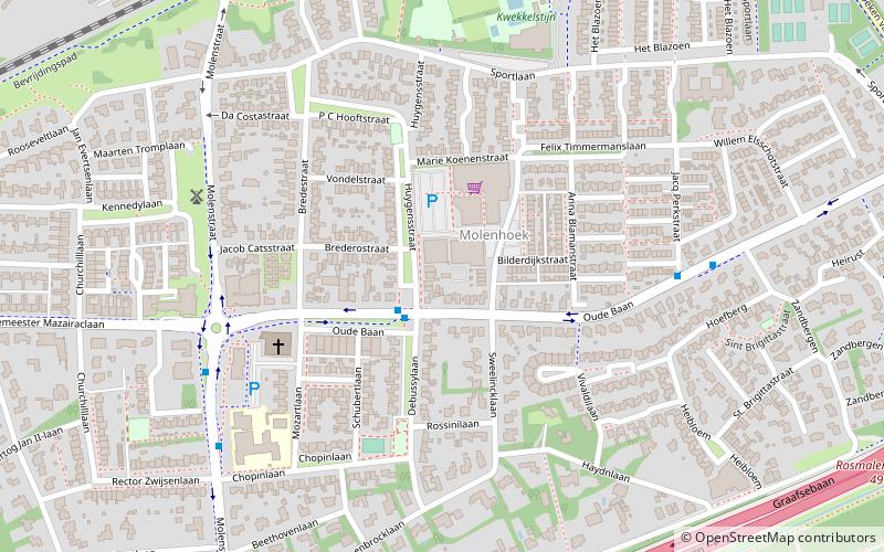
Map
Facts and practical information
Molenhoek is a neighbourhood in the village of Rosmalen, North Brabant, Netherlands. The neighbourhood can be found south of the railway track Tilburg - Nijmegen which passes through the municipality Rosmalen is part of, namely, 's-Hertogenbosch. Before 1900 Molenhoek was a hamlet, like all other neighbourhoods of Rosmalen south of the railway track. The Post mill Rosmalen, which was built in 1732, can be found in the neighbourhood Molenhoek. ()
Address
's-Hertogenbosch
ContactAdd
Social media
Add
Getting there by public transportation
Public transportation stops near this location
- Bus
- Train
 Bus
Bus
- Calculate routeHuygensstraat 2 min walk
- Calculate routeOude Baan 6 min walk
- Calculate routeMolenstraat 6 min walk
- Calculate routeT.M. Kortenhorstlaan 11 min walk
- Calculate routeRosmalen 12 min walk
Day trips


Frequently Asked Questions (FAQ)
Which popular attractions are close to Molenhoek?
Nearby attractions include Post mill Rosmalen, 's-Hertogenbosch (6 min walk), Markt, 's-Hertogenbosch (17 min walk), Saint Lambertchurch, 's-Hertogenbosch (17 min walk), Máxima Canal, 's-Hertogenbosch (22 min walk).
How to get to Molenhoek by public transport?
The nearest stations to Molenhoek:
Bus
Train
Bus
- Huygensstraat • Lines: 3 (2 min walk)
- Oude Baan • Lines: 3 (6 min walk)
Train
- Rosmalen (12 min walk)