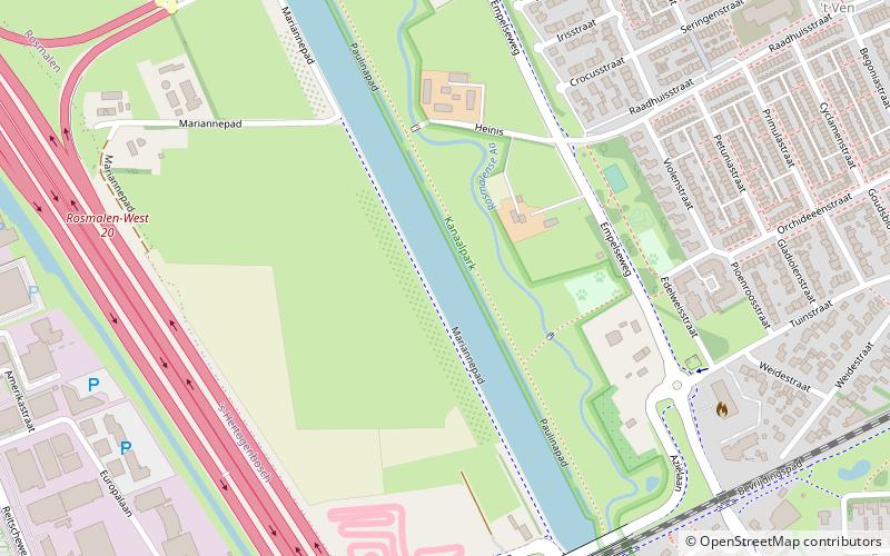
Máxima Canal, 's-Hertogenbosch
Map
Facts and practical information
The Máxima Canal dates from 2014 and runs from the Zuid-Willemsvaart near Den Dungen to the Meuse near Gewande. ()
Address
's-Hertogenbosch
ContactAdd
Social media
Add
Getting there by public transportation
Public transportation stops near this location
- Bus
- Train
 Bus
Bus
- Calculate routeEuropalaan 11 min walk
- Calculate routeBrabantpoort 12 min walk
- Calculate routeTinnegieterweg 13 min walk
- Calculate routeRosmalen 25 min walk
Day trips


Frequently Asked Questions (FAQ)
Which popular attractions are close to Máxima Canal?
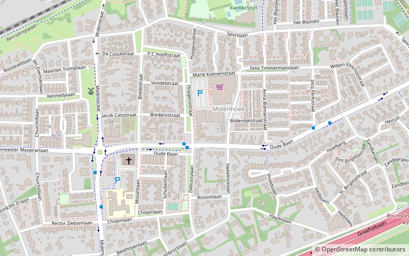
Nearby attractions include Post mill Rosmalen, 's-Hertogenbosch (16 min walk), Markt, 's-Hertogenbosch (20 min walk), Saint Lambertchurch, 's-Hertogenbosch (20 min walk), Molenhoek, 's-Hertogenbosch (22 min walk).
How to get to Máxima Canal by public transport?
The nearest stations to Máxima Canal:
Bus
Train
Bus
- Europalaan • Lines: 6 (11 min walk)
- Brabantpoort • Lines: 4 (12 min walk)
Train
- Rosmalen (25 min walk)