Saint Lambertchurch, 's-Hertogenbosch

Gallery (1)
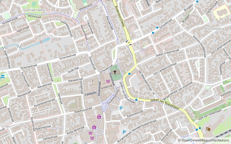
Map
Map
Facts and practical information
The Saint Lambertchurch is a Catholic church in Rosmalen, North Brabant, Netherlands. The name of the church refers to Lambert of Maastricht, the Seventh-Century Bishop of Maastricht. ()
Address
Torenstraat 1's-Hertogenbosch 5241 VG
Contact
+31 73 521 2215
Social media
Add
Getting there by public transportation
Public transportation stops near this location
- Bus
- Train
 Bus
Bus
- Calculate routeMarkt 3 min walk
- Calculate routeSchoolstraat 5 min walk
- Calculate routeRosmalen 9 min walk
Day trips


Frequently Asked Questions (FAQ)
Which popular attractions are close to Saint Lambertchurch?
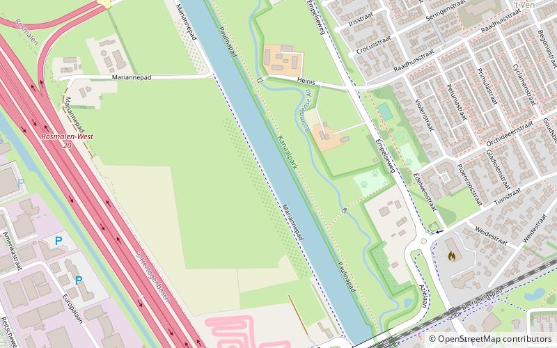
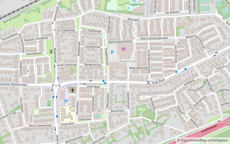
Nearby attractions include Markt, 's-Hertogenbosch (1 min walk), Post mill Rosmalen, 's-Hertogenbosch (16 min walk), Molenhoek, 's-Hertogenbosch (17 min walk), Máxima Canal, 's-Hertogenbosch (20 min walk).
How to get to Saint Lambertchurch by public transport?
The nearest stations to Saint Lambertchurch:
Bus
Train
Bus
- Markt • Lines: 251, 4 (3 min walk)
- Schoolstraat • Lines: 251 (5 min walk)
Train
- Rosmalen (9 min walk)