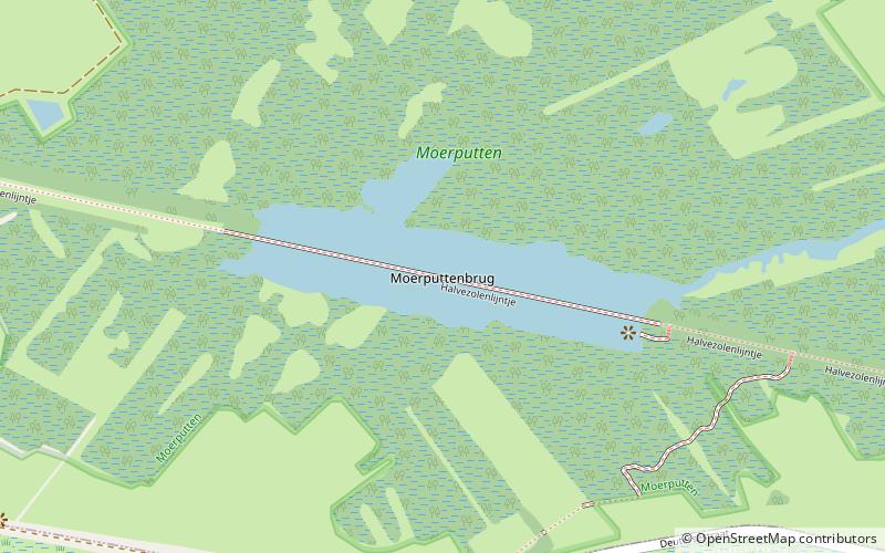
Moerputtenbrug, 's-Hertogenbosch

Gallery (1)
Map
Map
Facts and practical information
Moerputtenbrug is a place located in 's-Hertogenbosch (Noord-Brabant province) and belongs to the category of bridge.
It is situated at an altitude of 3 feet, and its geographical coordinates are 51°41'15"N latitude and 5°14'53"E longitude.
Planning a visit to this place, one can easily and conveniently get there by public transportation. Moerputtenbrug is a short distance from the following public transport stations: Admiraliteitslaan (bus, 15 min walk).
Among other places and attractions worth visiting in the area are: Kindermonument Kamp Vught (museum, 38 min walk), HAS Hogeschool (universities and schools, 41 min walk), Herzogenbusch concentration camp (museum, 41 min walk).
Coordinates: 51°41'15"N, 5°14'53"E
Getting there by public transportation
Public transportation stops near this location
- Bus
 Bus
Bus
- Calculate routeAdmiraliteitslaan 15 min walk
- Calculate routeHelftheuvelweg 16 min walk
- Calculate routeKarel Doormanstraat 17 min walk
- Calculate routeChurchilllaan 19 min walk
Day trips


Frequently Asked Questions (FAQ)
How to get to Moerputtenbrug by public transport?
The nearest stations to Moerputtenbrug:
Bus
Bus
- Admiraliteitslaan • Lines: 4 (15 min walk)
- Helftheuvelweg • Lines: 121, 135, 136, 621, 628 (16 min walk)