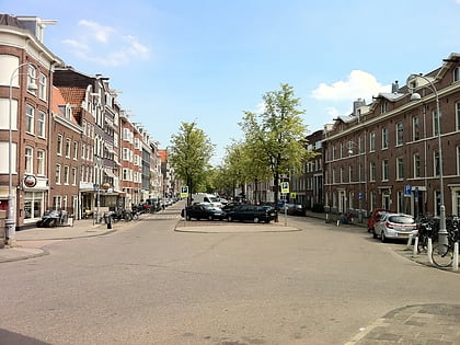
Haarlemmerbuurt, Amsterdam
Map
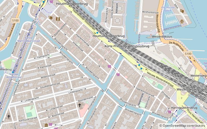
Map

Facts and practical information
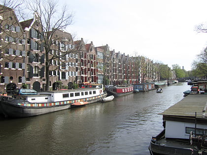
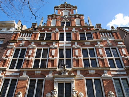
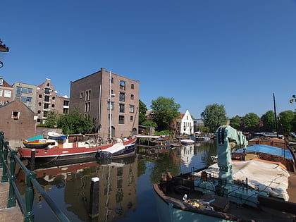
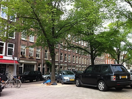
Haarlemmerbuurt is a neighbourhood in Amsterdam, in the Dutch province of North Holland, and is part of the borough Centrum. The central artery of the area is formed by the streets Haarlemmerdijk and Haarlemmerstraat, the old road to Haarlem. The neighbourhood is bordered to the south by Brouwersgracht, to the west by Singelgracht, on the north by the railway embankment and on the east by Singel. ()
Address
Stadsdeel Centrum (Haarlemmerbuurt)Amsterdam
ContactAdd
Social media
Add
Day trips
Haarlemmerbuurt – popular in the area (distance from the attraction)
Nearby attractions include: Leliegracht, Brouwersgracht, Embassy of the Free Mind, Bickersgracht.
Frequently Asked Questions (FAQ)
Which popular attractions are close to Haarlemmerbuurt?
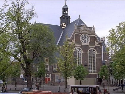
Nearby attractions include Brouwersgracht, Amsterdam (4 min walk), Noorderkerk, Amsterdam (5 min walk), West-Indisch Huis, Amsterdam (5 min walk), Noordermarkt, Amsterdam (6 min walk).
How to get to Haarlemmerbuurt by public transport?
The nearest stations to Haarlemmerbuurt:
Bus
Tram
Train
Metro
Ferry
Bus
- Buiten Oranjestraat • Lines: 18, 21, 22, N81, N88 (3 min walk)
- Buiten Brouwersstraat • Lines: 18, 21, 22, N81, N88 (4 min walk)
Tram
- Eerste Marnixdwarsstraat • Lines: 5 (8 min walk)
- Nieuwe Willemstraat • Lines: 5 (8 min walk)
Train
- Amsterdam Central Station (14 min walk)
Metro
- Centraal Station • Lines: 51, 52, 53, 54 (15 min walk)
- Rokin • Lines: 52 (21 min walk)
Ferry
- Centraal Station • Lines: F2 (18 min walk)
- IJplein • Lines: F2 (22 min walk)

 Metro / Trams
