Schinkelbuurt, Amsterdam
Map
Map

Facts and practical information
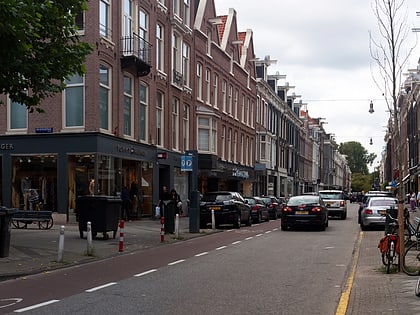
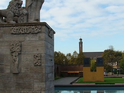
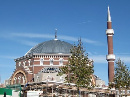
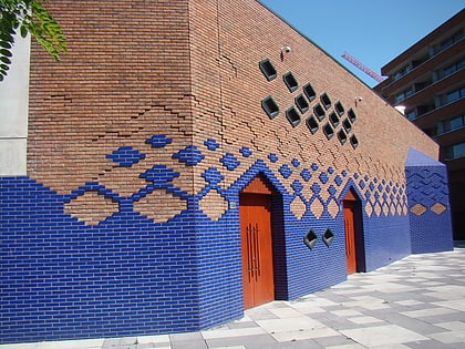
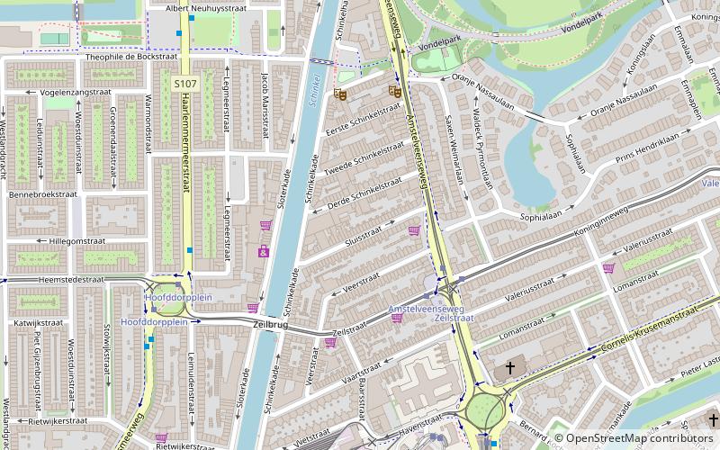
Schinkelbuurt is a little neighborhood of Amsterdam, Netherlands. It is located directly south of Amsterdam's city centre and it is part of the borough Amsterdam-Zuid, in the part of the city known as the Old South. ()
Address
Stadsdeel Zuid (Schinkelbuurt)Amsterdam
ContactAdd
Social media
Add
Day trips
Schinkelbuurt – popular in the area (distance from the attraction)
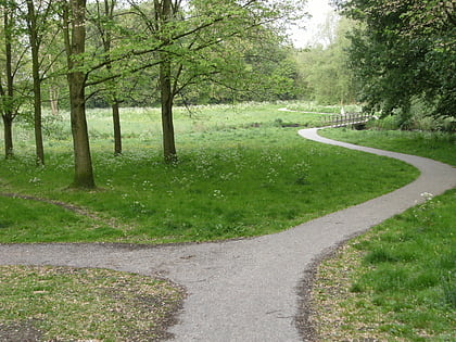
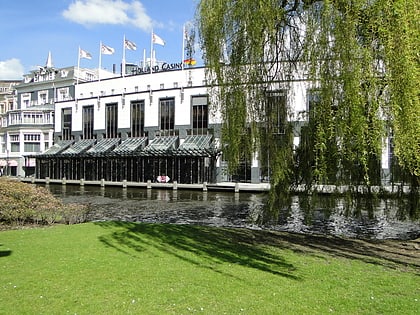
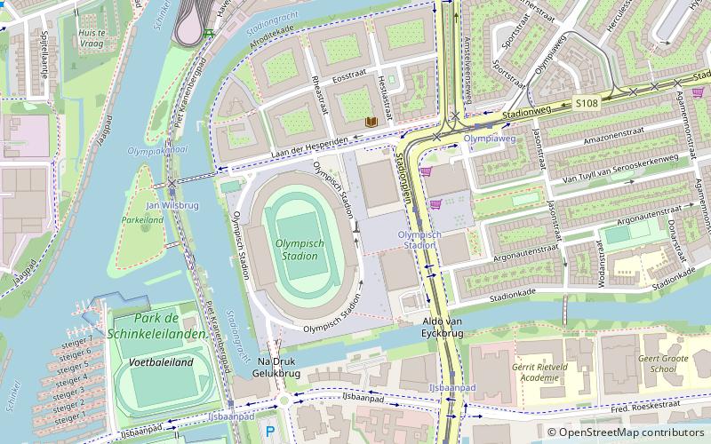
Nearby attractions include: P.C. Hooftstraat, Concertgebouw, Olympic Stadium, Hollandsche Manege.
Frequently Asked Questions (FAQ)
Which popular attractions are close to Schinkelbuurt?
Nearby attractions include Teatro Munganga, Amsterdam (4 min walk), Hoofddorppleinbuurt, Amsterdam (6 min walk), Willemspark, Amsterdam (10 min walk), Amsterdam-Zuid, Amsterdam (12 min walk).
How to get to Schinkelbuurt by public transport?
The nearest stations to Schinkelbuurt:
Bus
Tram
Metro
Train
Bus
- Amstelveenseweg • Lines: N88 (3 min walk)
- Zeilstraat • Lines: 15, 62, N88 (4 min walk)
Tram
- Amstelveenseweg • Lines: 2 (3 min walk)
- Hoofddorpplein • Lines: 2 (6 min walk)
Metro
- Heemstedestraat • Lines: 50, 51 (22 min walk)
- Lelylaan • Lines: 50, 51 (24 min walk)
Train
- Amsterdam Zuid (32 min walk)

 Metro / Trams